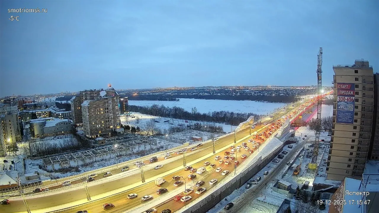
Gardiner Expressway in Toronto — Live Webcam Traffic
Main Traffic Artery of the Toronto Waterfront
The Gardiner Expressway is one of Toronto's key transportation corridors, stretching along the northern shore of Lake Ontario. This controlled-access highway connects the city's western and eastern districts through the downtown core, handling hundreds of thousands of vehicles daily. The route runs from the interchange with Highway 427 in the west to the Don Valley area in the east, passing through dense urban development and hugging the lakeshore.
The Gardiner infrastructure corridor is far more than just a strip of concrete for cars. It's a multi-level transportation nexus where the expressway, urban fabric, and railway tracks intertwine into a single organism. The surveillance camera captures exactly this segment — the integrated operation of automotive and railway infrastructure in an urban environment.
From Humble Beginnings to Large-Scale Demolition
The expressway's name immortalizes Frederick Gardiner — the first chairman of the Municipality of Metropolitan Toronto, well known for his advocacy of expressways. Construction began in the 1950s and became one of Canada's earliest expressways. The opening of the first section in 1958 marked the beginning of Toronto's automotive era.
For decades, the highway remained virtually unchanged, gradually deteriorating. The decision on the fate of the eastern section became a turning point: Gardiner East was completely demolished and replaced with Lake Shore Boulevard with lower speed limits. This decision freed up land for public spaces and restored waterfront access for residents.
Traffic Load and Congestion Issues
The Gardiner is one of Canada's busiest roads. Peak loads occur during morning and evening rush hours on weekdays, when the flow surges from residential neighborhoods to the business district and back. According to city reports, travel time during rush hour increases by up to 250% due to the combination of construction work and chronic congestion.
The traffic mix is diverse: passenger cars, delivery trucks, transit vehicles, and service vehicles share the lanes in a constant flow. In winter, the situation is compounded by snowfall and icy conditions — Toronto receives over 100 cm of snow on average per season, and keeping expressways clear becomes a top priority for city services.
Management System and Video Surveillance
To monitor conditions on the expressway, the Gardiner-Lake Shore Corridor Traffic Management System has been in operation since the early 1990s. This system includes vehicle detectors, electronic message signs, and a network of cameras. The surveillance cameras operate in real time to detect accidents, breakdowns, and traffic violations.
The traffic management center analyzes the video feed and promptly dispatches emergency crews and police to incident scenes. Response time directly affects congestion duration — every minute a disabled vehicle sits idle creates a backup stretching several kilometers during rush hour.
Rail Corridor and GO Transit
Running parallel to the Gardiner Expressway for a significant distance are railway tracks used by GO Transit commuter trains. This regional transit operator connects downtown Toronto with municipalities across the Greater Toronto Area — from Oakville to Oshawa.
The recognizable green-and-white trains arrive at stations every 15–30 minutes depending on direction and time of day. The railway infrastructure uses 25 kV electrified tracks, with commuter trains reaching speeds of up to 120 km/h on certain segments.
Impact on the Urban Environment and Public Spaces
For decades, the Gardiner created a physical and visual barrier between downtown Toronto and the lakefront. Noise pollution, vibration, and exhaust emissions made adjacent neighborhoods unattractive for living. The reconstruction of the eastern expressway section became an attempt to rectify this situation.
As part of the The Bentway project, the space beneath the Gardiner's support pillars has been transformed into a multifunctional public park with exhibition halls, sports courts, and recreation areas. This project became one of the most ambitious urban transformations in contemporary Toronto and attracted international attention.
Winter Conditions and Climate Factors
Toronto's climate significantly impacts road infrastructure operation. In winter, temperatures can drop below −20°C, with snowfall and freezing rain creating extreme driving conditions. The city deploys hundreds of snowplows and thousands of tons of de-icing agents to keep the expressway passable.
Spring and autumn rains also affect visibility and safety. Surveillance cameras allow operators to track changing road conditions and inform drivers promptly through electronic message boards on the expressway.
What You Can See on the Camera
The camera is mounted at an elevated position, providing a panoramic view of the multi-lane Gardiner Expressway. The frame captures an intense flow of cars and trucks moving in both directions along separated carriageways. Running parallel to the highway, a green-and-white GO Transit commuter train glides along the railway tracks. The backdrop features lush greenery — trees and shrubs that emphasize the lakeshore location of the expressway. This live webcam allows you to observe the integrated operation of automotive and railway infrastructure in real time.
Similar cameras
Find similar