Odintsovo Northern Bypass at PVP 17.7 km — webcam online traffic
Odintsovo Northern Bypass: a high-speed highway in western Moscow Region
The Odintsovo Northern Bypass is a high-speed highway of the highest technical category 1B, connecting the Moscow Ring Road (MKAD) with the federal highway M-1 "Belarus". The road was commissioned in November 2013 and has since become one of the key transport arteries of the western direction of the Moscow Region. The camera at PVP 17.7 km is directed towards Moscow and allows observing traffic on one of the busiest sections of this highway.
Technical characteristics of the road
The Northern Bypass runs between Mozhayskoye and Rublyovo-Uspenskoye highways, north and west of the city of Odintsovo. The length of the route is about 18.5 km. The number of lanes varies depending on the section: the first 5 km have eight lanes, the next 9 km have six lanes, and the last 4 km have four lanes. The design speed is 120 km/h, although the permitted speed on most of the route is 90 km/h.
Transport significance for Moscow and the Moscow Region
Before the construction of the bypass, the section of the "Belarus" highway near Odintsovo was one of the most problematic in the federal network. The Northern Bypass took over transit traffic, relieving Minskoye Highway and the city of Odintsovo itself. The route performs several key functions: it connects MKAD (the area of the interchange with Molodogvardeyskaya Street) with Minskoye Highway M-1 at the 33rd kilometer, provides international transport in the direction of Belarus and Europe, and also links the Moscow district of Kuntsevo with the western cities of the Moscow Region.
Construction history
Construction of the high-speed road began in October 2010. The project was implemented by the State Company "Avtodor" under a concession agreement. The construction cost amounted to 25.5 billion rubles. The official opening took place on November 26, 2013 — the ceremony was conducted by Dmitry Medvedev. Notably, Russia's first five-level interchange — Businovskaya was built on the route, connecting the bypass with the MKAD. The construction was accompanied by protests from environmentalists due to the route passing through the Pushkinsky Forest in 2011.
Traffic intensity and capacity
The design capacity of the Northern Bypass is 40,000 vehicles per day. However, as early as January 2014, the actual traffic intensity reached 70,000–80,000 vehicles per day, significantly exceeding the design figures. The route features 14 bridges and overpasses, 6 interchanges. The road is toll — a barrier-free payment system is in place, with the capacity of one lane in non-stop mode being at least 900 vehicles per hour.
Interchanges and infrastructure
The key nodes of the Northern Bypass are the Molodogvardeyskaya interchange on the MKAD (five-level Businovskaya), the exit to the 33rd km of Minskoye Highway, and the ramps to Mozhayskoye Highway with toll collection points. In the future, the interchange will connect the Northern Bypass with the planned Northern Duplicate of Kutuzovsky Prospekt. The customer for the construction of the interchanges is GC "Avtodor", the general contractor is LLC "IFSK 'ARKS'".
Surroundings of the route
The Northern Bypass runs through the suburban area of western Moscow Region. Around the route there are elements of urban and suburban infrastructure, residential areas, and forested areas. The PVP 17.7 km area is located at a distance from the central part of Odintsovo, which ensures a predominantly transit nature of traffic. When driving towards Moscow, drivers can observe a gradual increase in building density as they approach the MKAD.
What the camera shows
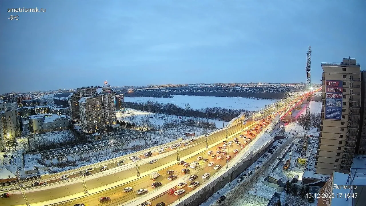
The camera at PVP 17.7 km of the Odintsovo Northern Bypass is directed towards Moscow. The broadcast shows the roadway of the multi-lane bypass highway, road signs and markers, and road barriers. Cars, trucks, and buses move along the route in both directions. Around the road, the suburban area with elements of urban and suburban infrastructure, trees, and buildings can be seen. The webcam allows assessing the current road situation on this section of the high-speed highway and planning a route taking into account the traffic load towards the center.
Similar cameras
Find similar