

🏳️ Netherlands webcams — watch live in real-time right now
110 cameras
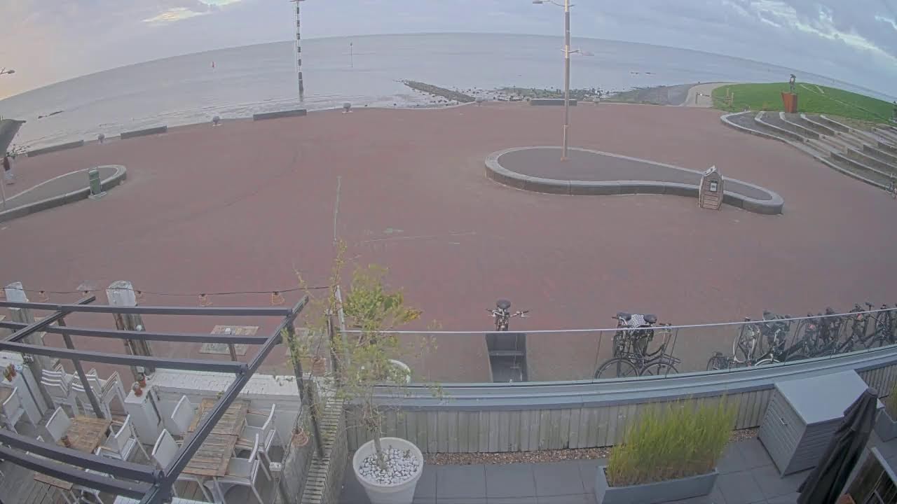
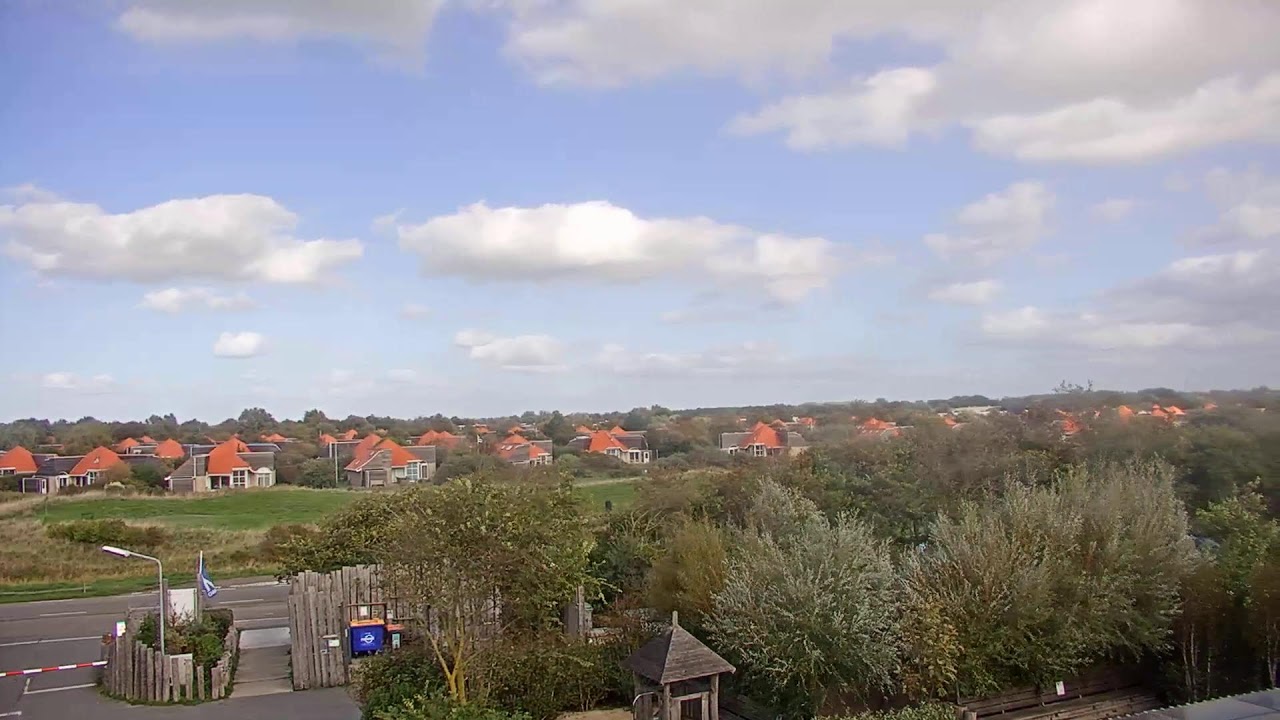
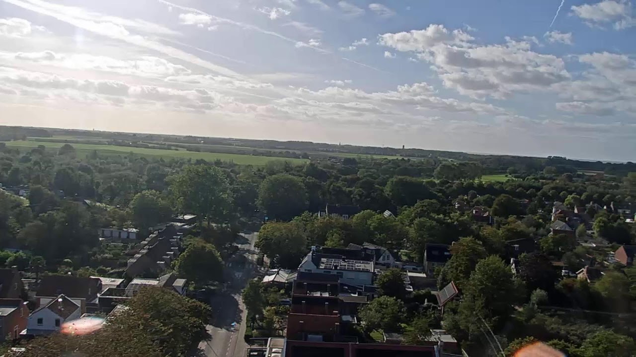
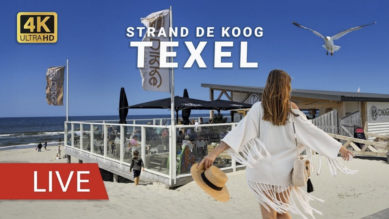


Netherlands webcams online: immerse yourself in a virtual journey through the kingdom
Opening webcams is a modern way to get to know any country without leaving home. Real-time visualization allows you to enjoy the architecture, nature and atmosphere of cities, whether it's hot or cold winter, day or night. An electronic review turns an ordinary monitor into a window to another world. This format is especially attractive for those who are planning a trip, choosing a hotel, collecting a wardrobe or simply loves to watch the rhythmic life of the streets. The Netherlands, located in western Europe, impresses with the scale of drained lands, a network of canals, colonial heritage and a peculiar peasant style in houses. Let's try to make a detailed impression of the state through the pages of the Internet.
General characteristics of the state
In the northwest of Europe, Belgium and Germany are adjacent, and the western border is washed by the North Sea. A third of the country's territory lies below the level of the world's oceans — the lands are drained, part of the territory goes under water. This explains the abundance of rivers, lakes and canals. The capital is Amsterdam, and the monarch's residence is The Hague. The official language is Dutch. Symbols include orange (the color of the royal dynasty) and the red-white flag with an orange attribute. The state is characterized by a high population density, standard of living, a powerful banking sector and a friendly attitude towards guests.
The geographical location has favored trade and fishing since ancient times. Locals were not afraid of water — they built dams and drained swamps. A characteristic feature is the bicycle as the main mode of transport. During the bicycle era, the main architectural elements of the city were rebuilt to suit the needs of two-wheeled transport. Bridges were widened, sidewalks reinforced, and signs moved to the rider's eye level.
Modern Dutch culture is a combination of medieval folklore, industrial modernism and jazz culture. Due to tolerant attitudes, not only tourists come here, but also those wishing to legalize same-sex relationships. Respected museums and theaters operate in the country. This article is intended for anyone who wants to see the country with their own eyes through camera screens, measure the outside air temperature, assess the weather of an upcoming vacation, and find inspiration for planning a visit.
Features of webcam surveillance
Internet cameras allow you to remotely assess the architectural landscape, traffic flows, people's behavior on embankments, the color of the sky, and the excitement of the sea. Monitors in a hotel room or at home, connected to a list of webcams, become a planning tool. You can choose a tour from Amsterdam, a route through Rotterdam, or monitor a single point associated with a specific event. The busy streets of the metropolis, the port, ancient squares, and embankments bring the picture to life. The system operates around the clock — at night the city looks different, clouds are reflected in the mirror of the water, cars are replaced by taxis and taxis by cars.
Amsterdam: the heart of the great canal system
Amsterdam, founded in the twelfth century, was historically a fishing village. The riverbanks were overgrown with shacks, markets, and schooners. Wooden houses stood close to each other, avoiding the wind and united by common walls. From the 17th century, major work began on draining the land and creating semicircular canals. Architects and engineers built a network of water arteries, turning the city into the 'Venice of the North'. 1613 became the starting point for this era of the project.
The canals divided the territory into several ring districts, each with its own rhythm of life. The dominant feature of each ring is an ancient market or church. The water system allowed fishing boats and merchant ships to reach the center, and also contributed to the emergence of a special style of merchant architecture: three- or four-story houses, narrow facades, sharp pediments decorated with pictures. Traditional houses rest on piles driven into the mud.
Dam Square has always played a key role in the city's history. From the earliest times, a river flowed to it, where ships were moored. The market created the economic basis of the settlement. Over time, the square turned into a market center, then a political and commercial hub. Kings were proclaimed here, the army returned in victory, merchants handed over goods and received payment. After seven centuries, Dam became the heart of the capital, a place where history and modernity combine.
An important feature of Amsterdam is its bridges. About a thousand bridges connect the banks. According to an old legend, loving couples passing under a bridge are sure to have their wish come true. Wedding couples pay for the ritual, usually leaving coins. The tradition gives the city a romantic aura.
A feature of traveling around the city is movement on the water. Cruise boats and sightseeing boats provide a unique perspective on the facades. Water is used not only for transportation — the streets along the canals today are filled with people, cyclists, and tourists looking for restaurants, museums, and shops. In the evening, the city is flooded with light, glass shop windows are reflected in the smooth water, creating a magical atmosphere.
Amsterdam canals and street traditions
The Amsterdam canal network was inscribed on the UNESCO World Heritage List in 2010. This is a recognition of the unique engineering and architectural value of the project. The canals are combined with old houses, bridges, and embankments, creating a holistic historical ensemble. Two centuries ago it was a construction site — dams, embankments, bridges, wooden piers. Today it is a pedestrian and bicycle zone, a popular event venue, and a tourist attraction.
Each canal area has a different atmosphere. The central avenues are filled with tourists and noise, quieter areas are closer to parks and the university. In the evening, calm returns, the sky changes color. In the distance, the spires of churches are visible, skyscrapers fill the horizon.
The variety of webcams allows you to see the city from different angles: famous underground passages, the anatomical theater of the old University, bars opposite the exchange, the Old Market Square. Skyscrapers tower over historical buildings, mixing past and present.
Construction and city life
The main period of formation of the Amsterdam canals is the 17th century, the era of the Dutch Golden Age. During this time, trade, shipbuilding, and artistic creativity reached their peak. The reason was the development of commerce — goods from the colonies were delivered to the port, unfolded into warehouses, and sent further north and south. The circulation of goods required a developed transport network. Engineering tasks were solved with the help of complex hydraulics, which made Amsterdam an outstanding city in terms of improvement.
Kinderdijk: echo of windmills
In East Brabant, in the province of South Holland, about 15 kilometers east of Rotterdam, there is a unique complex — Kinderdijk. The name translates as 'child dam', but the legend connects it not with children, but with the flood of 1421, when St. Elizabeth killed many people. The place then seemed to the saved children to be like a large dam, from where they could look at the devastated area.
This area has been a swamp for centuries. Peat soils were used by local residents, but the formation of water required constant protection. Since the Middle Ages, people began to drain the land using dams filled with water. Windmills became the main tool — their blades pulled water out of the canals into neighboring reservoirs.
Today, Kinderdijk is a group of 19 windmills from the 18th century. The mills are located nearby, forming a symmetrical composition. Some of them retain mechanics, others are used for educational purposes. Most have been preserved in their original form thanks to restorations, materials, outlines of roofs and foundations have been preserved. This is one of the few surviving living examples of traditional drainage technology in Europe.
Agrotechnical landscape
The surroundings of Kinderdijk demonstrate the characteristic Dutch landscape. Lakes, embankments, beds, farms — all this is part of the irrigated lands. Large fields belong to agricultural companies, where bulbs, vegetables, and cereals are grown. The rural landscape is calm, the horizon lines are straight, the length of the beds slightly exceeds the width.
The event life here is calm: fireworks in honor of local holidays, exhibitions, outdoor music concerts. But if we talk about webcams, the most popular is the overview camera of the complex. It captures everything at once: how the blades wave, how the sky is reflected, how the lines of the visible horizon blur. Through this experience, you can get an idea of what the nature of the Netherlands looks like away from the city bustle.
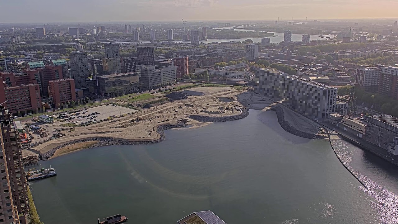
Rotterdam: the heart of finance
Rotterdam, located in the province of South Holland, is often called the financial capital of the Netherlands. The city earns money for the country, while Amsterdam spends it. The difference reflects different functions — Rotterdam is a trade and port hub, Amsterdam is a cultural and hotel center.
Rotterdam's history is closely connected with the North Sea. The city served as a starting point for trade caravans. After the Second World War, the city was restored, one of the famous landmarks is the Blaak Quarter. Architect Willem Kvist designed a maritime museum project, the building of which has the shape of a cube cut diagonally.
Rotterdam experienced a tragedy: during the raids of German aviation, the historical center was destroyed. The city began to be called the 'City with a torn heart'. After the war, reconstruction work began. New quarters are distinguished by modern facades, panoramic windows, and wide avenues.
Statistical portrait
The country's population exceeds 17 million people, the capital is about 900 thousand. The population density is very high, the average salary is one of the highest in Europe. The external borders run with Germany, Belgium, and the Dutch island of the Caribbean. The currency is the euro.
Literally 10 kilometers from the center of Amsterdam is Schiphol Airport — one of the largest in Europe. The starting point for the visit, the bridge between the plane and the city. Through webcams, you can see how clouds float over the runway, how indicators light up, how planes taxi.
Rotterdam architecture and industrial zones
The Marinaba Quarter is an example of urban design of the early 21st century. The area is about 40 hectares, in the center is a grandiose square surrounded by buildings, cafes, cinemas, hotels. One of the symbols is the Escher Tower — a glass structure reminiscent of the refraction of light.
The inner courtyard of Benderich is a surviving Renaissance building. At that time, the pot business flourished in Rotterdam, thanks to which the Hanseatic League strengthened ties with the countries of Europe.
Museum and educational sphere
The Maritim Museum Complex is a maritime museum, whose history began in 1873 with the support of Prince Hendrik. Architect Kvist designed a four-story cubic building with broken facade lines.
The Zuiderzee is a shallow bay of the North Sea. A museum dedicated to the theme of drainage and the life of people connected to the reservoir operates on its coast. The history begins in the 11th century, when the abbots of Britain arrived here, founded monasteries, and began to grow onions and bulbs.
Zuiderzee: the path to drained lands
An hour's drive from Amsterdam, you can see the shore of this bay. The tradition originates in the 11th century, when the Hanseatic League began its active activities. Volendam became the pier. British monks brought horticultural techniques with them, and soon began to build the first partitions and dams.
The air temperature ranges from plus two to plus twenty degrees in summer, in winter it sometimes drops to minus eight. There is a lot of precipitation, which explains the high humidity. In spring, the temperature approaches plus ten, spring days are long.
Keukenhof Park
Dutch bulbs are popular throughout Europe, but the central center of flowering is located in the Keukenhof park. The park covers 32 hectares, located near Lisse. The government institution is located in close proximity to the royal palace, an important symbol of power. The garden is also called the 'Garden of Europe', emphasizing its status as a place where walkers from all over the world meet.
The park is open for two months: from the last week of March to the last week of May. At other times of the year, it is visited only by employees and restorers. The history of the flower festival began in 1949, when 20 bulb manufacturers proposed creating an exhibition. Since then, the best varieties have been demonstrated in the spring.
My Netherlands: history and glory
The onion history in the Netherlands dates back to the 10th century. Huge fields of onions fill the rural landscapes. Famous golden fields stretch behind the city. Flowering mounds surround the villages. It is a sight that causes delight.
The abundance of flowers is the result of high-quality varieties, advanced selection, knowledge of the climate. Botanical gardens in the Botanical Museum have created conditions suitable for bulbs. The basis of success is breeding lines that maintain color and shape over a long distance.
Transport hubs and airports
Within Amsterdam, a network of trains connecting many European cities operates. Stations are hubs where people transfer. On webcams you can watch the flow of passengers, see how cars overtake cars entering pedestrian crossings, and watch the weather on the platforms.
Important infrastructure
Important objects: bridges (more than a thousand), dams (about 2 thousand), modern piers (the port of Amsterdam is one of the largest).
Botany and bulbs
The Botanical Garden of Amsterdam (Albert Cuyp, 1909), Keukenhof, Royal Gardens.