

🏙️ Grindavik Webcams Online — Watch in Real Time
5 cameras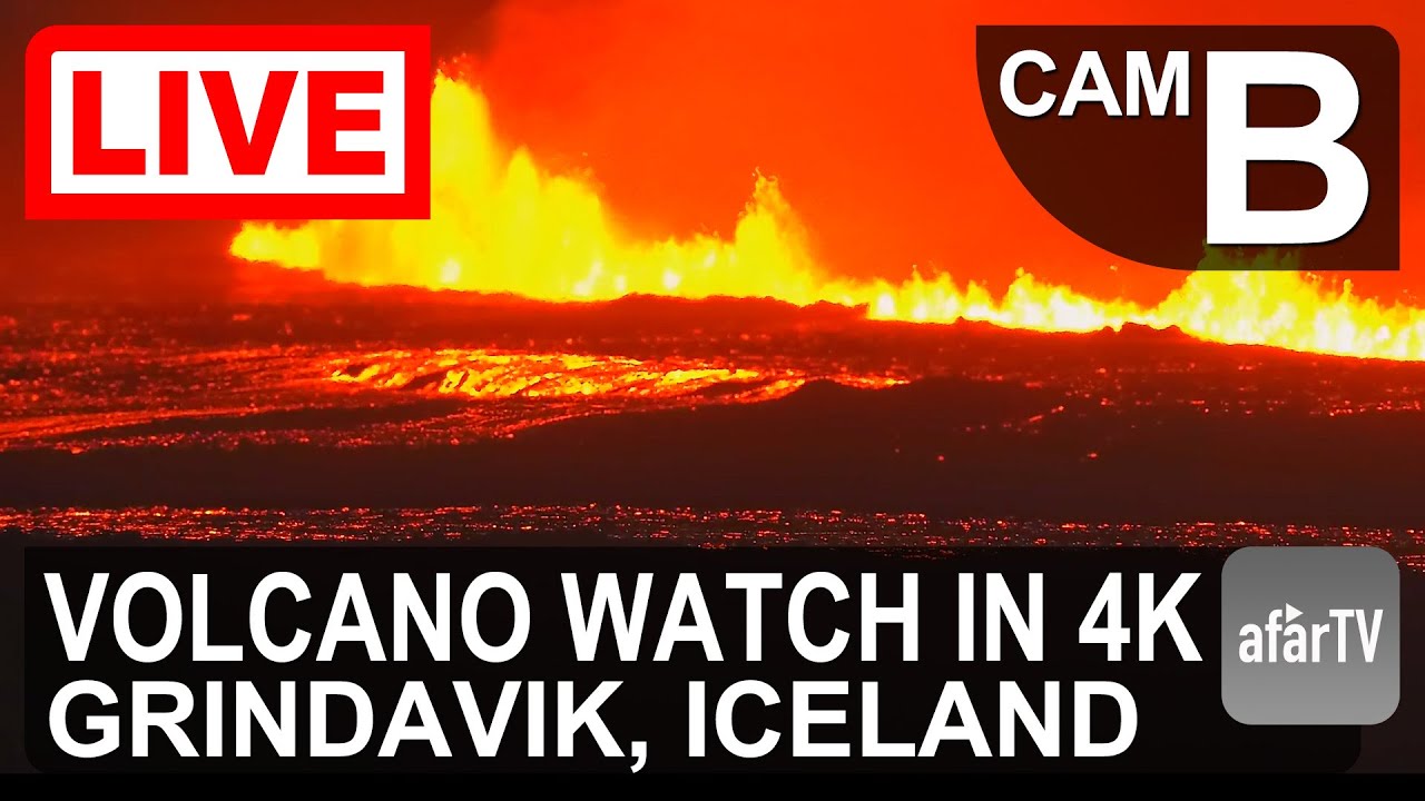
Grindavik — A Town on the Edge of a Volcano
On the southwestern coast of Iceland, where the Atlantic Ocean meets volcanic landscapes, lies a small fishing town with a harsh character and a unique fate. Grindavik faces the threat of complete destruction from the Fagradalsfjall volcano — making it one of the most extraordinary places to watch in the world. The town with a population of about 3,400 people lives in constant anticipation of new eruptions, and its residents have witnessed geological processes rarely seen so close up.
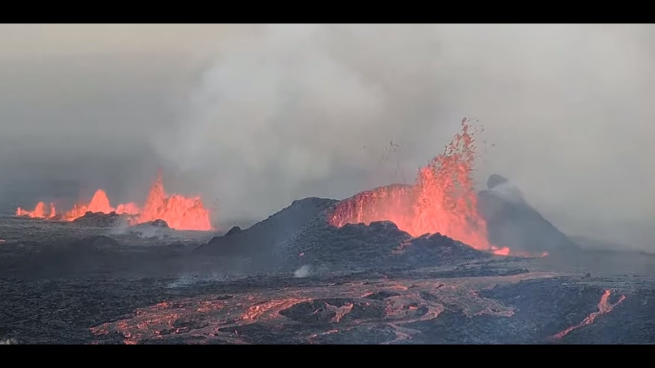
The Reykjanes Peninsula, where Grindavik stands, is a landscape shaped by lava flows over millennia. Black basalt rock, mosses and lichens covering the solidified lava create an otherworldly, alien-like scenery. It is here, just a few kilometers from the town limits, that a fissure approximately 14 km long runs, through which magma rises toward the surface, threatening the town's infrastructure.
History from Vikings to the Present Day
Grindavik is one of Iceland's oldest settlements. According to the Book of Settlements (Landnáma), around 934 AD two Vikings — Mold-Gnupur Hrolfsson and Thorir Haustmyrkur Vigbjodsson — founded a settlement here. They chose this location for its convenient ocean harbor, which remains the heart of the town to this day.
Over the centuries, Grindavik developed as a fishing port. Its favorable location on the shore of Faxaflói Bay provided fishermen with access to the rich fishing waters of the North Atlantic. Today, most residents are still employed in the fishing industry, though tourism and services are gradually gaining ground.
The town has a distinctive character thanks to a large esoteric sun-worshipping center that attracts followers of neo-pagan teachings from around the world. This makes Grindavik not just a fishing village, but also a destination for those seeking spiritual solitude amid the harsh northern nature.
Fagradalsfjall Volcano — Neighbor and Threat
The Fagradalsfjall volcanic system is located in close proximity to Grindavik. Its absolute height is 391 meters, but the main danger lies not in the summit but in the fissure-type eruptions. The first eruption occurred in late 2023, and since then the activity has not ceased.
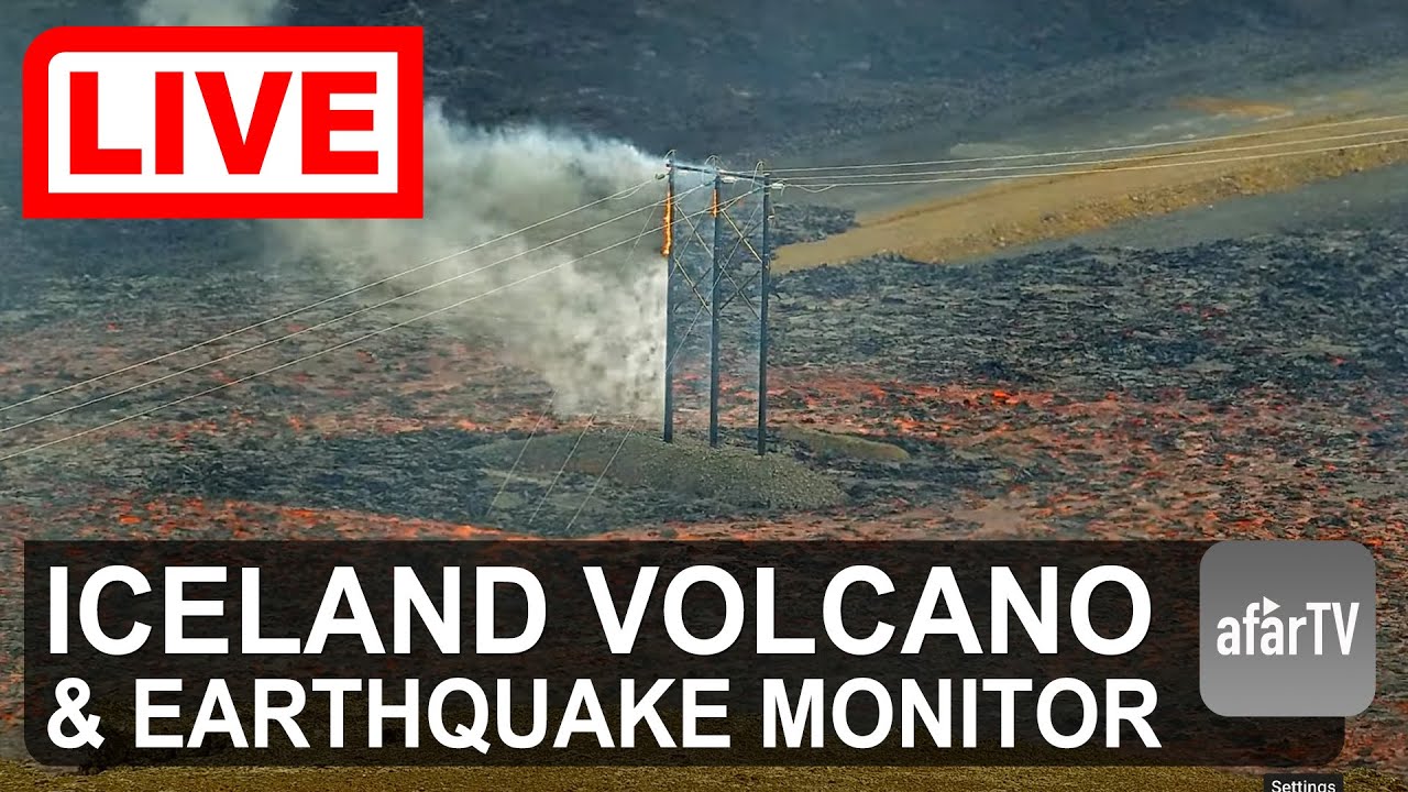
Thousands of small earthquakes preceded the eruption, and fissures ran through the town, making many buildings unsafe. Icelandic authorities have ordered evacuations several times in recent years. Lava flowing from the fissures is slowly but relentlessly approaching the town limits, changing the landscape before our eyes.
For scientists and observers, this is a unique opportunity to study volcanic activity in real time. Webcams installed around Grindavik allow tracking of lava flows and terrain changes without risk to life.
Blue Lagoon — A Geothermal Wonder
5 kilometers from the center of Grindavik lies the Blue Lagoon — the main attraction of this area of Iceland. It is a geothermal spa where warm mineral water rising from underground forms an artificial pool with milky-blue water.
The water temperature in the lagoon stays at 37-40°C year-round, even during the harshest winters. High content of silica, salts, and algae gives the water its characteristic color and healing properties. The Blue Lagoon attracts hundreds of thousands of tourists annually, and its spa complex is considered one of the best in Scandinavia.
The lagoon's location near the volcanic zone creates a unique contrast: hot lava beneath the surface and warm water above, surrounded by frozen lava and moss. This is a place where the geological forces of the planet can be felt on your own skin.
Grötta Lighthouse — Symbol of the Coast
On the island of Grötta, connected to the mainland by a bridge, stands one of Iceland's most photographed lighthouses. The first lighthouse was built in 1897 to ensure safe navigation for ships entering Faxaflói Bay.
Today, the Grötta lighthouse is not only a navigational landmark but also a popular walking destination. Around the lighthouse stretches a nature reserve for several kilometers, home to thousands of birds. Puffins, terns, eider ducks, and other seabirds nest on the rocky shores, turning the surroundings into a true bird sanctuary.
Access to the island is limited: the lighthouse can only be reached during low tide, which lasts about 6 hours. During high tide, the bridge goes underwater, and Grötta becomes an uninhabited island. This creates a special atmosphere of solitude and wild nature close to the capital.
Fishing Port and Everyday Life
Grindavik's port is the center of the city's life. Fishing vessels dock here, returning from the Atlantic with catches of cod, haddock, and herring. The fishing industry remains the backbone of the local economy, providing jobs for most residents.
The city harbor is protected by breakwaters and piers, forming a convenient water area. In the port, you can watch the unloading of catches, boat repairs, and preparations for new voyages. It is a living, working port, not a museum exhibit.
Despite the volcanic threat, life in Grindavik goes on. The town adapts to new conditions: protective structures are built, evacuation plans are developed, but people are not eager to leave their homeland. This creates a unique atmosphere — a blend of everyday life and awareness of the fragility of human presence on volcanic ground.
Geographical Location and Transportation Access
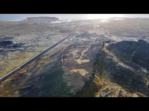
Grindavik is located on the Reykjanes Peninsula in southwestern Iceland. The distance to the capital Reykjavik is about 50 km (31 miles), and to Keflavik International Airport — just 22 km. This makes the town a convenient base for exploring Iceland's southwestern coast.
You can reach Grindavik by car via Road 41 from the airport or Road 43 from Reykjavik. The drive from the airport takes about 20-25 minutes, from the capital about 45 minutes. Public transport consists of buses connecting the town with Reykjavik and the airport.
Together with neighboring towns Njardvik, Hafnir, and Asbru, Grindavik forms the Reykjanesbær municipality with a population of over 19,600. It is the fourth most populous municipality in Iceland, underscoring the region's importance to the country.
What the Cameras Show in the City
Webcams in Grindavik broadcast live in real time, allowing you to observe the city panorama and volcanic activity. Cameras are installed at strategic points: on the approaches to the town, in the port, and near the Blue Lagoon.
Watching Grindavik online offers a chance to see the rugged beauty of Iceland's coast, monitor weather conditions, and, in case of increased volcanic activity, witness a unique geological event. Broadcasts are available 24/7 and require no registration.
For those planning a trip to Iceland or interested in volcanology, Grindavik webcams are a window into one of the most dynamic regions on the planet, where the earth continues to form before our very eyes.