Southern Ring Road in Groningen — Live Webcam Traffic
Groningen's Southern Ring Road: a transport artery of the northern Netherlands
The live webcam broadcasts the Southern Ring Road in Groningen — a key transport artery of the northern Netherlands region. This multi-lane urban expressway connects the A28, A7, N7, N46, and N370 highways, providing transit traffic between the west and east of the country, as well as towards Germany. The ring's length is about 12 kilometers, running from Hoogkerk to Westerbroek through the central part of the city. Up to 80,000 vehicles travel along this route daily, making it one of the busiest roads in the region.
Groningen is the largest city in the northern Netherlands with a population of about 230,000, but its transport infrastructure serves a much larger number of people. Around 160,000 people come to the city every day — students, employees, and business meeting participants. The Southern Ring Road acts as the main distributor of this flow, directing traffic to the city center, university campus, industrial zones, and port infrastructure.
History from viaduct to urban expressway
The foundation of the modern ring road was laid about 100 years ago, when Groningen began actively expanding beyond its medieval boundaries. However, the modern appearance of the route took shape in the 1960s, when an elevated viaduct was built — a typical solution for that era, when car transport was considered a priority over the pedestrian environment.
The elevated viaduct divided the city into two parts for decades, creating a physical and psychological barrier between neighborhoods. Residents of the southern districts were cut off from the center, and noise and exhaust fumes made the surrounding areas unattractive for living. By the early 21st century, it became clear that the infrastructure required a radical transformation.
In 2002, the Minister of Transport approved option C3 (Zuidtangent) for the route after evaluating the first phase of planning activities. However, the project's implementation stretched over years due to difficult soil conditions, the need to coordinate with railway infrastructure, and environmental restrictions.
Aanpak Ring Zuid reconstruction: how the road changed
The Aanpak Ring Zuid project (Southern Ring Reconstruction) became one of the largest infrastructure projects in the northern Netherlands. Launched in 2016, it required seven years of construction and concluded with an official opening on September 1, 2024. More than 20,000 people participated in the ceremonial opening, walking along the new road before it was opened to vehicle traffic.
The consortium Combinatie Herepoort took responsibility for implementing the project, including design, construction, and financing. The main idea of the reconstruction was to transform the elevated viaduct into an "urban expressway" (stedelijke snelweg) with a speed limit of 80 km/h.
The key design decision was to lower the section between Hereweg and Oude Winschoterdiep. Instead of an elevated viaduct, the road went into a trench, and wide "lid" bridges (deksels) were built over it, on which a new urban park was created. This made it possible to restore the connectivity of the urban fabric and eliminate the barrier that had divided Groningen for decades.
Special attention was paid to the architectural design of the viaducts. They are built in the typical Groningen brick style, allowing the new infrastructure to blend harmoniously into the city's historic appearance and preserve the visual heritage of the region.
Transport significance and logistics connections
The Southern Ring Road is not just a city highway, but a crucial element of the national transport network. It connects the A28 highway coming from the west (from Utrecht and Zoetermeer) with the A7/N7 highway leading south towards Germany and north to the Wadden Sea coast.
The Euvelgunne junction serves as the starting point of the N46 road and the A7 turn south. This is a key point for logistics flows, providing access to the port of Eemshaven — one of the largest ports in northwestern Europe, as well as to the energy sector and industrial zones of the region.
Before the reconstruction, at the intersection of A28 and N7 (Julianaplein junction), there was a traffic light intersection that caused chronic congestion. The Aanpak Ring Zuid project eliminated this bottleneck by replacing traffic light control with modern interchanges. Nevertheless, the road remains a "vulnerable link" (kwetsbare schakel) in the national highway network due to high traffic volume.
The SVIR strategic plan notes the project as contributing to strengthening the international investment climate and developing priority urban regions. Groningen's accessibility directly affects the attractiveness of the entire northern province for business and investment.
Zuiderplantsoen: a park above the road
One of the most unusual elements of the reconstruction is Zuiderplantsoen — a new urban park located on a "lid" bridge above the lowered section of the Southern Ring Road. This green space has become a place of recreation for residents and students, for walks and public events.
The creation of Zuiderplantsoen symbolizes the project's philosophy: infrastructure should serve people, not divide them. The park connects neighborhoods that were previously isolated from each other by the elevated viaduct, and improves pedestrian accessibility between the south and the city center.
The project also eliminated the railway barrier (voormalige barrière van het spoor), which, combined with the elevated road, created a double obstacle for transport flows. Now connectivity between neighborhoods has been restored, contributing to the development of Zuidas (Southern Axis) as a priority area for Groningen's spatial development.
Accessibility to the University of Groningen campus — one of the leading research universities in the Netherlands — has been improved. Students and faculty now have more convenient routes between dormitories, academic buildings, and research centers.
What the camera shows
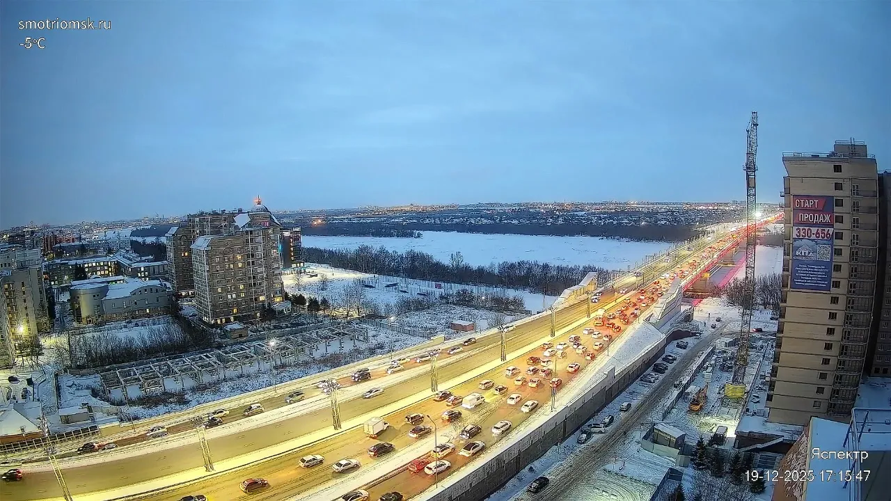
The webcam overlooking the Southern Ring Road in Groningen broadcasts a multi-lane urban expressway from above. In the frame — intense traffic flow: cars, trucks, and buses follow the interchanges and straight sections of the route.
The road interchange with a tunnel or underpass is clearly visible — a characteristic element of the lowered section of the road built during the Aanpak Ring Zuid reconstruction. Around the road are urban buildings, parking areas, trees, and green spaces.
In the left part of the frame, commercial and residential buildings are visible, along with a parking lot with cars. In the background — a typical Groningen landscape with low-rise buildings and an abundance of greenery. The camera allows you to observe traffic in real time, assess the road's congestion level, and see how traffic flows are distributed across the Southern Ring interchanges.
Similar cameras
Find similar