

🏙️ Webcams Winslow online — watch the city in real time
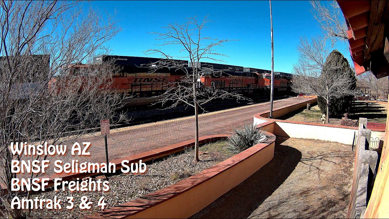
2 cameras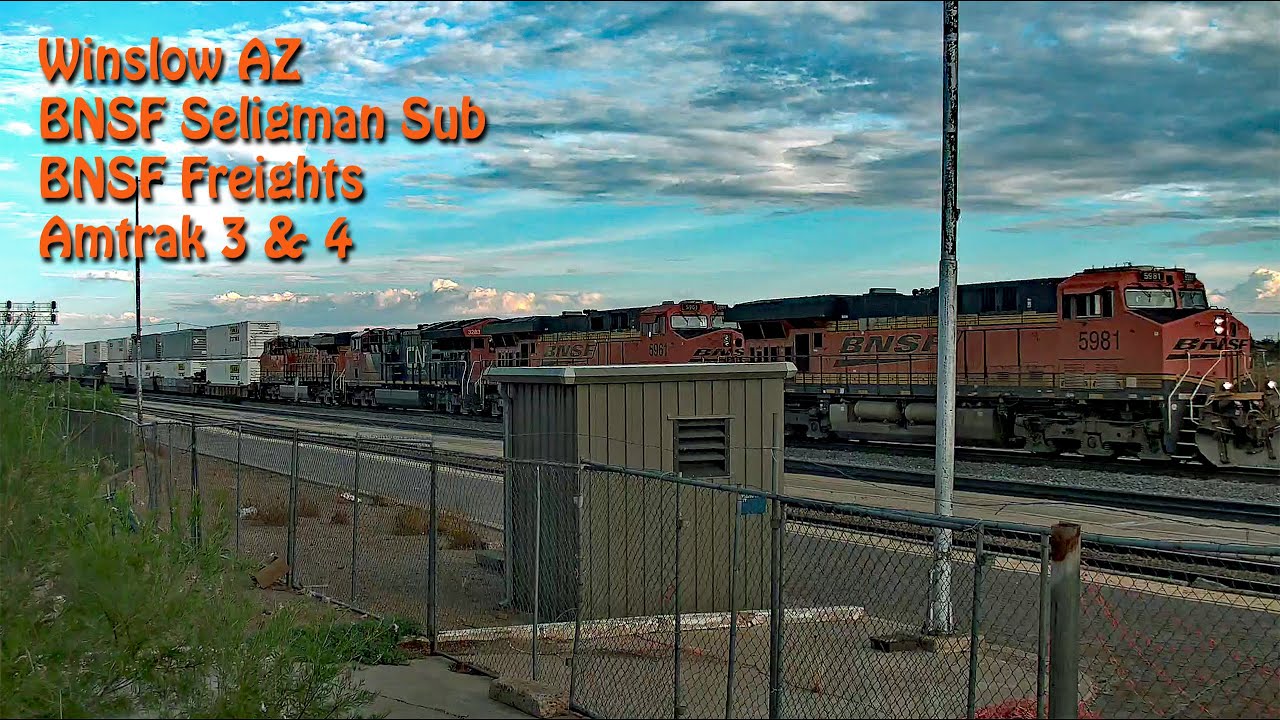
Winslow — the town America sang about
There are places that become famous not because of their size or wealth, but because of a single line in a song. Winslow, Arizona is exactly that case. When the Eagles' "Take It Easy" was released on May 1, 1972, written by Jackson Browne and Glenn Frey, no one could have imagined that a town of just over nine thousand people would become a pilgrimage destination for tourists from around the world. The song reached #12 on the Billboard Hot 100, and Winslow became forever embedded in American cultural DNA.
According to the 2020 census, Winslow's population is 9,005 — a modest figure, but one that doesn't stop the town from holding the attention of travelers driving along the legendary Route 66. Today, Winslow webcams let you see this corner of Arizona without leaving home — just select a stream and watch the life of a town where time seems to have slowed down.
Railroad Roots and the Birth of the Town
Winslow's history is inseparable from the rails. The town was founded as a stop on the Atlantic and Pacific Railroad, which later became part of the Santa Fe Railway. Winslow is named after Edward F. Winslow, president of the St. Louis–San Francisco Railway, though there is also a version about a prospector named Tom Winslow.
The town's first businessman, Frederick C. Demarest, arrived here in 1880 and by 1885 had opened the Arizona Central Hotel. By 1912, when Arizona became the 48th state, Winslow's population was approaching 4,000, and the town was called the "metropolis of Northern Arizona." It was a heyday — the railroad brought passengers, cargo, and opportunities.
The Golden Era of Route 66
On November 11, 1926, Route 66 officially passed through Arizona — the legendary highway connecting Chicago and Los Angeles. The total length of the route in the state was 385.20 miles (619.92 km), and Winslow became one of the key towns on this route. Until the 1960s, it remained the largest city in northern Arizona precisely because of its location on Route 66.
The highway brought life: motels, gas stations, diners, souvenir shops — all serving the flow of travelers heading west through the desert. Winslow was not just a dot on the map but a full-fledged stop where you could spend the night, eat, and fix your car. Today, Winslow webcams online show the streets where the cars of the motel and chrome bumper era once roared.
La Posada — Mary Colter's Masterpiece
In 1930, the Fred Harvey Company opened La Posada hotel — a luxurious railroad hotel designed by architect Mary Colter. Colter considered it her masterpiece, and contemporaries call La Posada "the last great railroad hotel" in the American West. The building combined Spanish Colonial style with elements of Mission architecture, and the interiors were filled with works by local artisans.
The hotel operated until 1957, then closed and remained abandoned for a long time. Restoration of La Posada has been underway since 1997 — and today it is not only a functioning hotel but also a museum, restaurant, and symbol of Winslow's revival. The building's architecture deserves special attention: Mary Colter designed not just a hotel but a whole world with interior courtyards, terraces, and views of the desert.
Bypassing the Town: How I-40 Changed Winslow
In the 1970s, the construction of Interstate I-40 bypassed Winslow. The new highway cut the town off from the main flow of traffic, and the consequences were devastating: businesses on the old Route 66 closed one after another. Tourists no longer drove into the center — they passed by on the freeway, not noticing the town's streets.
Winslow found itself on the verge of dying. But it was at this moment that a new chapter began — a chapter of revival through heritage. The town didn't try to compete with new routes. Instead, it turned to face its history and the very song that had made it famous.
Standin' on the Corner Park: Music as Salvation
On September 11, 1999, Standin' on the Corner Park was opened in downtown Winslow — dedicated to the Eagles song. A two-story mural by artist John Pugh depicts a girl in a pickup truck, and a life-size bronze statue by Ron Adams titled "Easy" became the town's main photo attraction. The park is visited by about 100,000 people a year — an impressive figure for a town of nine thousand.
The Standin' on the Corner Foundation was created specifically for the town's renaissance. The idea is simple and brilliant: if the world knows Winslow from the song, then that fame needs to be turned into a tourist magnet. And it worked. Today the park is not just a memorial but a living public space where festivals, concerts, and gatherings take place.
Barringer Meteor Crater: A Cosmic Visitor Near Winslow
About 18 miles west of Winslow lies one of the most impressive natural formations in North America — Barringer Meteor Crater. Its diameter is 3,900 feet, and the rim rises 148 feet above the surrounding desert. This is the site of a meteorite impact estimated to be 50,000 years old.
The crater is a must-visit if you find yourself in Winslow. The museum at the crater's rim tells the story of the impact, and the observation decks offer views of a crater that conveys the scale of cosmic forces better than any movie. For those watching Winslow webcams, it's worth keeping in mind that this cosmic imprint is part of the landscape surrounding the town.
The Atmosphere of Winslow: Desert, Rails, and Silence
Winslow sits at an elevation of about 4,800 feet above sea level, in the high desert of the Colorado Plateau. The climate here is dry, with hot summers and cool winters, and the sky remains cloudless for most of the year. The air is transparent, the horizon endless, and the silence so dense you can hear your own breathing.
The town has preserved the atmosphere of the American West from the mid-20th century. Low buildings, wide streets, neon signs of old motels — all create the feeling that time has stopped. Winslow webcams convey this atmosphere: you can watch the sun slowly move across building facades, rare cars cross intersections, and the wind stir dust on the roadside.
Neighborhoods and Streets: How the Town Is Laid Out
Downtown Winslow is compact and walkable. The main streets — Second Street and Third Street — are the former Route 66 alignment. This is where the main life is concentrated: cafes, antique shops, souvenir stores, museums. The area around Standin' on the Corner Park is the tourist heart of the town.
Residential neighborhoods spread out from the center — single-story homes with yards, drought-tolerant gardens typical of the desert landscape. On the outskirts are industrial zones and railroad infrastructure that still operates: the Santa Fe Railway (now BNSF) continues to use Winslow as an important hub on the transcontinental mainline.
What the Cameras Show
This page features Winslow webcams — select a stream to see the town in real time. The cameras show central streets, intersections, and panoramas of the desert landscape surrounding the town. Watching Winslow online is a chance to feel the rhythm of a small American town where Route 66 history is still alive on every corner.