

🏙️ Latina Webcams Online — Watch the City in Real Time
1 cameras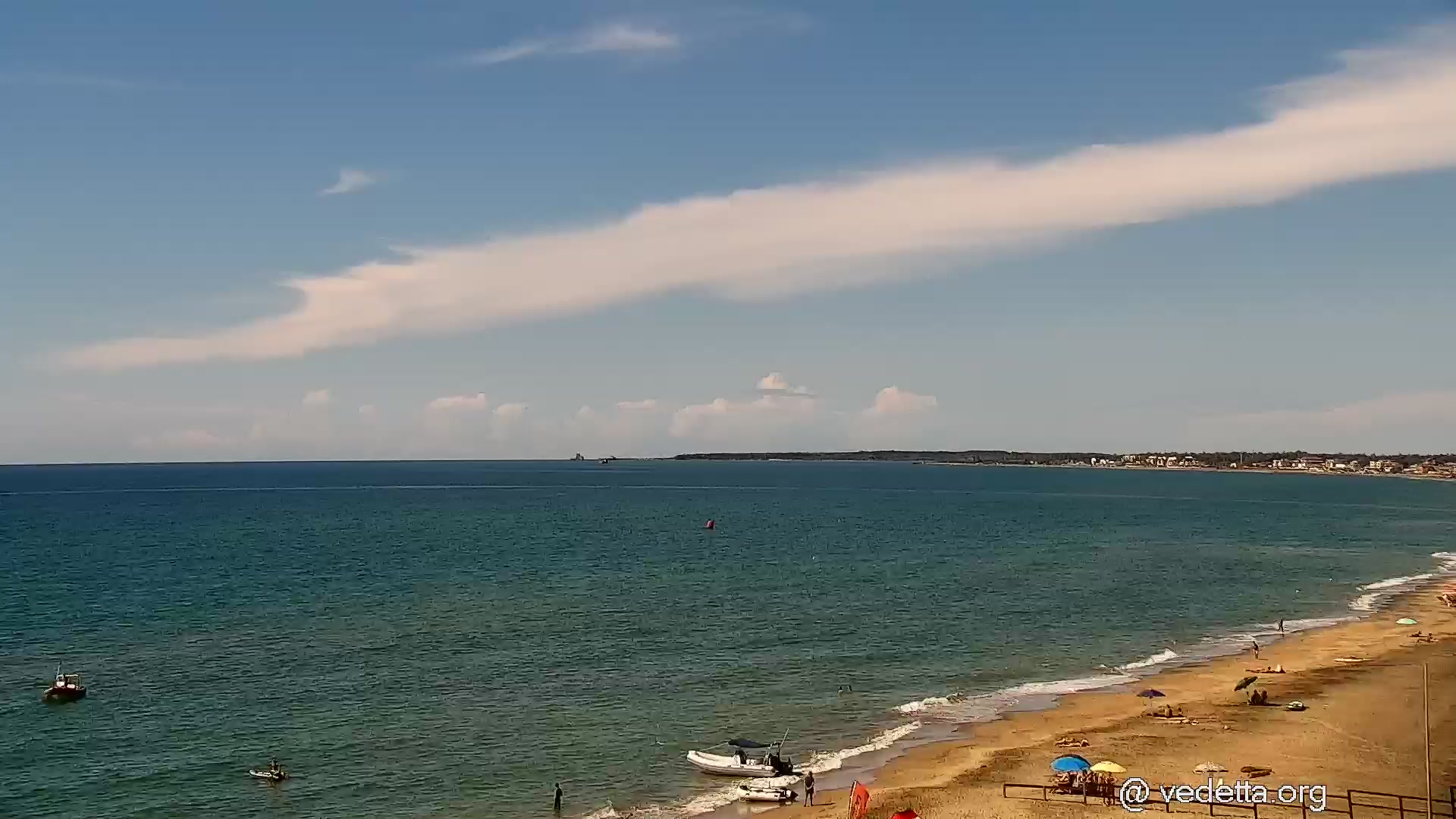
Latina — A City Born from Marshes
When you think of Italy, Rome, Florence, and Venice come to mind. But there is a city whose history is fundamentally different from all others — Latina. It is the only major settlement in the country built "from scratch" in the 20th century on land once deemed uninhabitable. Latina's online webcams allow you to see this unique urban planning experiment of the last century — from wide avenues to monumental squares.
Located in the Lazio region, about 60 kilometers southeast of Rome, Latina is the administrative center of the province of the same name. The city lies on a plain between the Apennine Mountains and the Tyrrhenian Sea, giving it a mild Mediterranean climate. Its proximity to the coast makes Latina a convenient base for trips to the beaches of Sperlonga, Terracina, and San Felice Circeo.
How Mussolini Created a City in One Year
Until the late 1920s, the territory of modern Latina was the Pontine Marshes — a vast swampy plain that for centuries was considered one of the most unhealthy areas in Europe. Malaria and fever decimated the local population, and the Romans, despite numerous attempts, never managed to drain these lands.
In 1929, Benito Mussolini launched the massive Integrale Bonifica program — a complete land reclamation transformation. Drainage canals were dug, dams and pumping stations were built, millions of eucalyptus trees were planted, whose roots worked as natural pumps. The result exceeded expectations: malaria was defeated, and five new cities appeared on the reclaimed land.
June 30, 1932 marked the grand opening of the city of Littoria — named after the lictorial fasces, the symbol of fascist power. The ceremony was attended by thousands of people, including the Duce himself. The city was erected in a matter of months on what was previously completely empty land — architects, engineers, and workers labored around the clock.
Rationalist Architecture: A City as a Monument to an Era
Latina is one of the most complete and well-preserved examples of Italian rationalism in urban planning. The project was developed by a group of architects led by Oriolo Frezzotti and Ettore Rossi. Their task was ambitious: to create an ideal city reflecting the values of the new regime.
Latina's layout is based on clear zoning. The administrative center, residential quarters, industrial zone, and recreational spaces are logically and functionally separated. Wide avenues intersect at right angles, creating a sense of order and monumentality. White facades, strict geometric forms, minimal decor — everything is subordinated to functionality.
Piazza del Popolo — the city's central square — is surrounded by a colonnade and buildings in a typically fascist style. Here stands the Palazzo M (Palazzo del Governo), the former House of the Fascist Party, with its characteristic tower-obelisk. Watching the Latina webcam on this square is like looking into an architecture history textbook.
Particular attention deserves the Torre Littoria — a tower about 30 meters tall, dominating the city's central area. It has become a symbol of Latina and one of the most recognizable elements of fascist architecture in Italy.
Life on Drained Marshes: Colonists and Their Legacy
The first residents of Latina were recruited mainly from northern regions of Italy — Veneto and Friuli-Venezia Giulia. Thousands of families left their native lands to start a new life on the drained marshes of Lazio. They brought their dialects, traditions, and culinary habits, creating a unique cultural blend in Latina.
After World War II, in 1946, the city was renamed from Littoria to Latina — in honor of the historical region of Latium. This was part of a large-scale campaign to de-Fascistize Italian place names. However, the city's architectural appearance remained virtually untouched, and today Latina is a living museum of 1930s urban planning.
Modern Latina is a city with a population of about 127,000, the largest in the province. It has developed industry, agriculture (fruits, vegetables, olive oil), university campuses, and cultural institutions. At the same time, the atmosphere of a "garden city" is preserved — with palm-lined avenues, parks, and spacious green areas.
Latina Today: Between History and Modernity
Modern Latina is not an open-air museum, but a living, developing city. It hosts a number of industrial enterprises, shopping centers, restaurants, and cafes. The local cuisine represents an interesting blend of northern and central Italian traditions — polenta and risotto coexist with classic Lazio dishes.
The city is conveniently located for travelers. Just 20–30 minutes by train — and you're on the Tyrrhenian coast. Sperlonga with its white houses carved into the cliffs, Terracina with ancient Roman ruins, San Felice Circeo with crystal-clear water — all easily accessible from Latina.
For history and architecture enthusiasts, Latina is a real find. Unlike many Italian cities where the fascist period is downplayed, here the rationalist heritage is preserved and even a source of pride. The Museo della Bonifica tells the story of marsh drainage, and numerous 1930s buildings attract architecture researchers from around the world.
Climate and Best Time to Watch
Latina enjoys a typical Mediterranean climate. Summers here are hot and dry — July and August temperatures regularly exceed 30°C. Winters are mild, with rare frosts. Precipitation occurs mainly in autumn and winter months.
Thanks to this climate, the city looks attractive almost year-round. In spring the greenery is particularly lush, in autumn soft light creates picturesque shadows on rationalist building facades. Latina online webcams operate around the clock, allowing you to choose your viewpoint and mood — from morning freshness to evening illumination.
Districts and Neighborhoods of Latina: What's Visible from Above
The city is divided into several characteristic districts. The central part is the historic core of 1932 with monumental buildings and wide avenues. To the north and east lie the residential quarters of postwar construction, more cozy and intimate. South of the center is the industrial zone, and to the west are agricultural lands reminiscent of the area's past.
Of particular interest is the Centro Direzionale district — the business center where modern office buildings stand alongside architectural landmarks. Also worth noting are the Borgo Grappa and Borgo Podgora neighborhoods — former colonial settlements that have preserved the atmosphere of the city's early years.
Watching the Latina webcam overlooking the central districts is the best way to appreciate the urban planning logic of the 1930s. The geometric street grid, rhythmic alternation of buildings and green zones, monumental perspectives — all clearly visible from above.
What the Cameras Show in the City
This page features all available webcams in Latina — from central squares to quiet residential neighborhoods. Choose the stream that interests you: whether you want to see Piazza del Popolo with its colonnade, watch traffic on the main avenues, or simply feel the rhythm of life in an Italian city built on former marshland.
Latina webcams online are a window into a city with a unique destiny. From the fascist experiment of 1932 to a modern provincial center — Latina has come a remarkable path, and each stream tells its own part of this story.