

🏙️ Webcams Redding online — watch the city in real time
1 cameras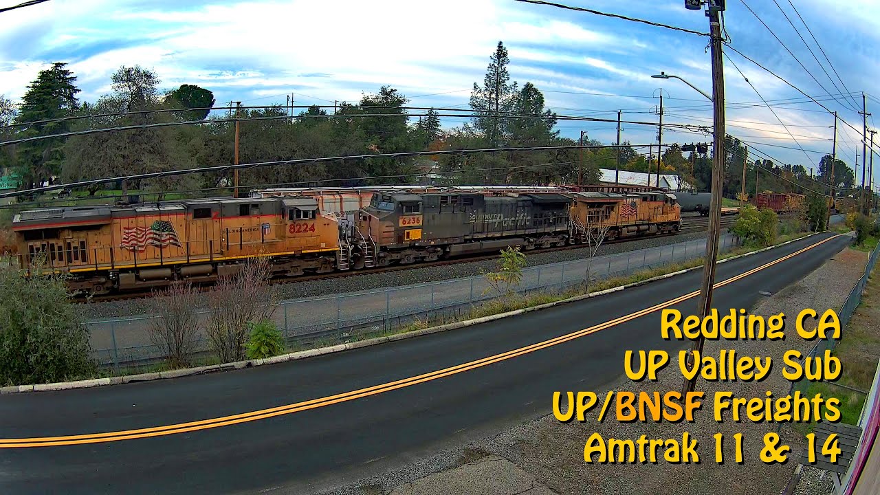
Redding — the gateway to Northern California
The city of Redding is located along the Sacramento River, 162 miles north of the state capital, serving as the economic and cultural capital of the Shasta Cascade region. With a population of approximately 93,611 as of 2020, it is the largest city in Northern California north of Sacramento. Redding serves as an important transportation hub, connecting the Central Valley with the mountain regions of the state. Interstate I-5 and railway lines pass through the city, making it a strategic point for travelers heading to Oregon or mountain resorts. Founded as a railroad town in the late 19th century, Redding has grown into a modern city with developed infrastructure while maintaining the atmosphere of a quiet California town. The city's economy is based on healthcare, education, retail, and tourism. For those who want to see the city before traveling, Redding webcams online allow you to assess road conditions and weather in real time.
Architectural symbols: Sundial Bridge and the Calatrava legacy
The city's main architectural landmark is Sundial Bridge, designed by Spanish architect Santiago Calatrava and opened on July 4, 2004. This pedestrian bridge over the Sacramento River stretches 213 meters, with a pylon height of 66 meters. Construction cost $23.5 million. The bridge functions as a sundial: its glass surface casts a shadow on a special marker showing the exact time. The snow-white structure has become Redding's calling card and one of the most photographed objects in Northern California. Evening illumination turns the bridge into a glowing landmark visible from many points in the city. The bridge connects Turtle Bay Exploration Park with the north bank of the river, creating a pedestrian route across the waters of the Sacramento. The bridge design has no supports in the water, allowing the river to flow freely and preserving natural fish migration.
Shasta Dam and Shasta Lake: engineering giants of the region
Several miles north of Redding rises Shasta Dam, 602 feet (183 m) high, the 8th tallest dam in the USA. Construction of this hydraulic structure began on August 21, 1938, by Pacific Constructors Incorporated under the direction of Frank T. Crow. The dam became a key facility of the federal Central Valley Project — the country's largest water system, providing irrigation and water supply to California's Central Valley. The Shasta Lake it created is the largest reservoir in California with a capacity of 5.6 km³. The reservoir stretches for dozens of kilometers along mountain canyons, offering opportunities for water tourism, fishing, and outdoor recreation. The lake's shores are indented with bays and canyons, and its waters are home to trout and salmon. The dam also serves as a hydroelectric power station, generating electricity for the region. The reservoir is surrounded by the Shasta-Trinity National Forest, offering hundreds of miles of hiking trails and camping areas on the water's edge.
Turtle Bay Exploration Park: culture and nature on the banks of the Sacramento
On the banks of the Sacramento River lies Turtle Bay Exploration Park — a 300-acre cultural center. The park combines a museum, arboretum, botanical gardens, and a forest and wildlife center. This is a place where visitors can learn about the region's ecosystems, see local animals, and walk among collections of plants adapted to the Mediterranean climate of the valley. The park serves as a starting point for many hiking trails, including the path to Sundial Bridge. The arboretum features trees from around the world, and the museum hosts interactive exhibits dedicated to the nature and history of Northern California. The wildlife center rehabilitates injured animals and runs educational programs for schoolchildren. The botanical gardens showcase plants characteristic of various California zones — from coastal species to mountain endemics.
Trails and outdoor activities: the hiking capital of California
Redding is unofficially called the "Trail Capital of California" — within 15 km of the city center, there are over 360 km of hiking and biking trails. One of the most popular routes is Sacramento River Trail, a paved bike and pedestrian path along the Sacramento River over 10 miles (16 km) long. The trail passes through scenic landscapes, connecting different areas of the city and providing access to the river. Many plan their routes after first checking Redding webcams to assess trail traffic and weather conditions. The surrounding area also features trails leading to waterfalls and mountain peaks of the Trinity Range. The region offers opportunities for rock climbing, kayaking, mountain biking, and hiking of varying difficulty. The Sacramento River attracts fishing enthusiasts, especially during salmon and steelhead trout migration season.
Climate and natural features of the valley
Redding is located in a valley between the Cascade Mountains and the Trinity Range, which determines its hot summer climate. The city is in a Mediterranean climate zone with dry hot summers and mild wet winters. Summer temperatures often exceed 38°C, making Redding one of the hottest cities in California. In winter, the city receives most of its precipitation, while the surrounding mountain peaks are covered in snow, creating a contrasting picture with the arid valley. In spring, rivers fill with meltwater, turning surrounding meadows into blooming pastures. Autumn brings coolness and golden hues to the foliage along the Sacramento River. The diversity of landscapes around Redding — from arid hills to snow-capped peaks — creates unique conditions for observing the changing seasons.
What the cameras show in the city
Redding webcams online cover key points of the city: downtown, Sundial Bridge, areas along the Sacramento River, as well as approaches to Shasta Dam and Shasta Lake. Live broadcasts allow you to observe road conditions on main highways, weather conditions in the valley, and activity on popular trails. The live stream is available for free and without registration — just select the camera you're interested in to see Redding in HD quality. Online streaming is especially useful for travelers planning a trip to the Shasta Cascade region and for those who want to check conditions before heading out on a trail. Street cameras show the urban environment, vehicle and pedestrian traffic, allowing you to feel the rhythm of life in this California city. Road cameras help assess the traffic on I-5 and access roads to mountain areas.