

🏙️ Running Springs Webcams Online — Watch California Mountain Resort Live
1 cameras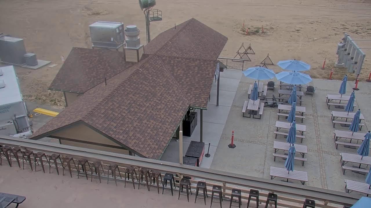
History of Running Springs: From Logging to Mountain Resort
Running Springs is not just a dot on the map of San Bernardino County, but a place whose history is closely intertwined with the development of Southern California's mountain territories. Originally, this area was called "Hunsaker Flats" — named after Abraham Hunsaker, an early member of the Mormon Battalion. This is what the territory was called until the early 20th century, when logging became the main driver of the local economy. Hunsaker was one of the first settlers to appreciate the potential of these lands, although at the time they seemed too remote and harsh for mass settlement.
Logging in the region began in 1890, when immigrants moving to the orange groves of Redlands created a huge demand for lumber for crates and building materials. The San Bernardino Mountains became the source of this valuable resource, and logs were sent down through special chutes and cable systems. The Log Hauler, preserved as a historical artifact, recalls the times when logging determined the lives of settlers. The hard work of lumberjacks, dangerous log descents down slopes, constant threat of wildfires — all of this was part of everyday life. Today, Running Springs webcams allow you to see these forests that once provided timber for the growing Southern California and now serve as a place for recreation and tourism.
Geography and Climate: Life at 1,850 Meters Elevation
Running Springs is located at an elevation of 6,080 feet (1,850 m) above sea level, making it one of the highest settlements in the region. This unincorporated census-designated place (CDP) is located in the San Bernardino Mountains, approximately at the 6,100-foot (1,860-meter) mark. This location determines a unique climate — there is snow here, which you will never see in the lower-lying cities, and summer temperatures rarely exceed a comfortable 25-28 degrees Celsius.
The town is located 17 miles west of Big Bear Lake and 16 miles northeast of Highland via Highway 330. This makes it a convenient stop for travelers moving between mountain resorts. The elevation above sea level means that summers here are cool compared to the scorching valleys, and winters bring real snow with opportunities for skiing. The elevation difference between Running Springs and nearby foothill towns creates a sharp climate contrast: when Redlands or San Bernardino swelter in oppressive heat, here the air is easy and pleasant to breathe.
Rim of the World Highway: A Scenic Road Through the Mountains
Highway 18, known as the Rim of the World Highway, runs along the ridge of the San Bernardino Mountains and is one of the most scenic roads in Southern California. The route spans 110 miles and passes by Lake Arrowhead, through Running Springs, and ends at Big Bear Lake. The name "Rim of the World" was not given to this road by chance — on many stretches it feels like you're driving on the edge of the world, with steep slopes on one side and vast valleys on the other.
This road was opened in 1915 as the San Bernardino Mountain Crest Highway. Over the next decade, it was paved and widened, transforming former logging routes into an accessible scenic road. Today, the Rim of the World Highway offers breathtaking views of the valleys below and mountain landscapes around. Turnoffs to the communities of Crestline, Lake Arrowhead, and Running Springs make this road popular among tourists, motorcyclists, and photography enthusiasts. In winter, sections of the highway may close due to snow, adding to its sense of wilderness.
Things to Do: Skiing, Hiking, and the National Children's Forest
Running Springs is a place where winter recreation combines with summer activities. Snow Valley Mountain Resort was founded in the 1920s and became the first ski resort in the San Bernardino Mountains. This historic venue for winter sports enthusiasts continues to welcome guests today. Despite its modest size compared to major resorts in Colorado or Utah, Snow Valley offers runs of varying difficulty levels and a special atmosphere of family skiing.
For cross-country skiing enthusiasts, the Rim Nordic Ski Area operates — the only such center in Southern California. And hiking trails are abundant: through the AllTrails service, 14 scenic routes are available for hiking, cycling, and running. The trails pass through pine and spruce forests, past mountain streams and open meadows with panoramic views.
Special attention deserves the National Children's Forest, covering 3,400 acres (1,400 ha). This is a unique place where educational programs and excursions introduce visitors to mountain forest ecosystems. The Exploration Trail was designed by children themselves, and the Heaps Peak Arboretum Day Use Area offers themed gardens and easy walking trails. This is a place where you can learn about local plants, animals, and the importance of preserving forest ecosystems.
Local Life and Culture
The population of Running Springs was 5,268 according to the 2020 census, up from 4,862 in 2010. This is a small but growing community whose life revolves around tourism and services. There is no major industry in the town, but there are many businesses oriented toward the tourist market — from gear shops to restaurants and cafes. Many residents work in the service industry, real estate, or utilities.
Local children's education is provided by Rim of the World High School and Mary Putnam Henck Intermediate School, located in Lake Arrowhead. Students from Running Springs attend schools in the "Rim of the World" area — a stretch of populated territory in the San Bernardino Mountains that extends from Crestline to Big Bear and covers about 30 miles. This means that schoolchildren have to ride a bus to the neighboring town, which adds a special flavor to their daily routine.
Local Legends and Hidden Gems
Running Springs is often called a "hidden gem" of the San Bernardino Mountains. This is a place known mainly to locals and mountain recreation enthusiasts seeking to escape tourist crowds. There are no noisy attractions or huge hotels here — only the silence of conifer forests, fresh mountain air, and a sense of seclusion. Many residents of Los Angeles and Orange County are not even aware of this town's existence, although it is just a couple of hours' drive from the metropolis.
The Log Hauler (or "slip tongue"), already mentioned, is not just an exhibit but a symbol of the logging past. It recalls the times when logs were brought down from the mountains for the needs of growing Southern California cities. Today, Running Springs webcams online allow you to see how the landscape has changed — instead of logging camps, there are now hiking trails and ski slopes. The live stream provides an opportunity to assess current conditions: road congestion, weather, and snow coverage on the slopes.
What the Cameras Show
Running Springs webcams provide the opportunity to observe life in this mountain town in real time. The broadcasts cover key points: highway intersections, views of conifer forests, ski slopes, and mountain panoramas. You can watch Running Springs webcams online right now — choose a point of interest and enjoy views of mountain California. The live stream allows you to assess weather conditions, snow coverage on the slopes, and the overall atmosphere of this secluded corner in the San Bernardino Mountains. Running Springs webcams are a window into a world where mountains meet forests and history intertwines with modernity.