

🏙️ Thunder Bay Webcams Online — Watch Live in Real Time
2 cameras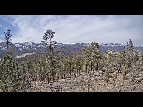
Geographical Location and Climate of Thunder Bay
Thunder Bay stretches along the northern shore of Lake Superior — the largest freshwater lake in the world by surface area. This region is known as the Lakehead, which literally means "head of the lake" — the city stands at the western extremity of the waters, where the waters of Lake Superior meet the rugged Canadian Shield. The climate here is continental with pronounced lake influence: winters are long and snowy, summers are short but warm, and autumn delights with the bright colors of deciduous forests descending right to the water's edge. Thanks to this location, Thunder Bay historically became the most important transportation hub of Northwestern Ontario — trade routes passed through the city, and today it operates a major port and YQT airport, connecting the region's remote communities with the rest of Canada.
City History: From Two Rivals to a Unified Whole
Modern Thunder Bay is the result of an unusual merger. In 1970, two rival cities — Port Arthur and Fort William — merged into a single municipality. Before the merger, each had its own history, its own character, and even its own railway station. Port Arthur grew up around port facilities and administrative structures, while Fort William traces its origins to a fur trading post from the early 19th century. Today, the former cities have become districts, and locals still say "I'm going to Port Arthur" or "that's on the Fort William side," preserving the identity of each. Downtown Thunder Bay is primarily the Port Arthur district, where administrative buildings, shops, and waterfront restaurants are concentrated.
Sleeping Giant — Symbol and Legend of Thunder Bay
If you look at Thunder Bay from the water, the silhouette on the horizon leaves no doubt: a giant lies here. The Sleeping Giant is the remnant of an ancient volcano that, from the city, looks like the stone figure of a giant lying on its back. According to Ojibwe legend, this is the spirit Nabidju, who showed the tribe rich silver mines in these places. Sleeping Giant Provincial Park was established in 1944 as Sibley Park and renamed in 1988, covering an area of 244 square kilometers. The park offers dozens of kilometers of hiking trails with panoramic views of Lake Superior, Sibley Peninsula, and the city itself. The Thompson Peak lookout is one of those places where you can simultaneously see the stone outlines of the giant and the water surface stretching beyond the horizon.
Terry Fox Memorial — A Place of Power on the Shore of Lake Superior
On a hill several kilometers east of downtown Thunder Bay stands a monument to a man whose name all of Canada knows. The Terry Fox Memorial was solemnly opened on June 26, 1982, by Governor General Edward Schreyer, a few days before the first anniversary of Terry Fox's death. Originally, the monument was located directly along Highway 17, but was later moved to a special lookout with views of Lake Superior and the Sleeping Giant. From here, one of the best panoramas of the region opens up — of the water surface, rocky shores, and the silhouette of Sibley Peninsula. For many Canadians, this is a place of pilgrimage: Terry Fox began his Marathon of Hope right here, and every year thousands of people come here to honor his memory.
Fort William: A Living Museum of Canadian History
The Fort William district preserves the memory of the times when fur trade was the economic foundation of these places. Fort William Historical Park is a reconstruction of an 1815 fur trading post, officially opened on July 3, 1973. This is one of the largest living history museums in North America: on a territory of over 100 hectares, everything has been recreated — from Indigenous wigwams to a blacksmith's workshop and traders' houses. Reenactors in historical costumes demonstrate early 19th-century crafts, and in the governor's house you can see how managers of the North West Company lived. The park also houses the David Thompson Observatory with one of the largest telescopes available to the public in Central Canada — on clear nights, public stargazing sessions are held here.
Marina and Waterfront — The Heart of City Life
The Thunder Bay Marina is located in a picturesque protected harbor on the shore of Lake Superior and is the center of the entertainment district at the northern tip — the former Port Arthur. The waterfront includes public art and installations that have become part of the new development of the area, as well as restaurants in the historic district. In summer, yachts dock here, street cafes operate, and festivals take place. In winter, the harbor freezes, turning into an endless white space where locals skate and ice sail. The waterfront is the perfect place to watch ships entering the port and sunsets over Lake Superior, which are especially impressive here thanks to the open horizon.
YQT Airport and the Lakehead Region
Thunder Bay Airport (YQT) is served by several airlines and is the main aviation hub for the Lakehead region, serving northwestern Ontario. Thunder Bay is the largest city in Northwestern Ontario and the second largest in Northern Ontario with a population of about 110,000. The Lakehead region got its name from its location at the mouth of Lake Superior — it is a historical and geographical term for the area around Thunder Bay. The airport connects the city with Toronto, Ottawa, and remote settlements of Northern Ontario that can only be reached by air. For travelers, YQT is the gateway to the region's natural attractions: from fishing on Lake Superior to trekking in Sleeping Giant Park.
What the Cameras Show
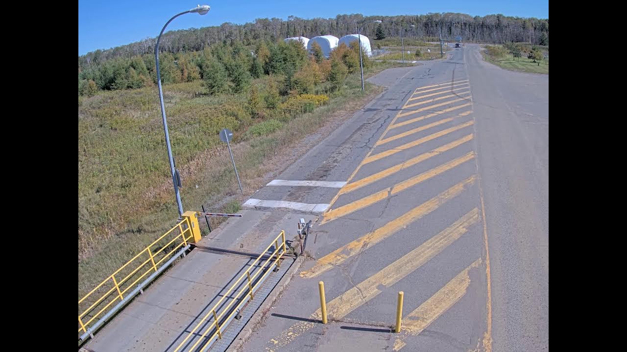
Thunder Bay webcams online allow you to see the city in real time from anywhere in the world. The broadcasts cover key locations: the Port Arthur marina and waterfront, Sleeping Giant panorama, YQT airport, and central streets. You can watch Thunder Bay online in HD quality — the cameras work live and show the city as it is right now: with its weather, ship traffic in the harbor, and the change of day and night over Lake Superior. Choose a camera and observe the life of the largest city in Northwestern Ontario in real time.