

🏙️ Kington Webcams Online — Watch the City in Real Time
1 cameras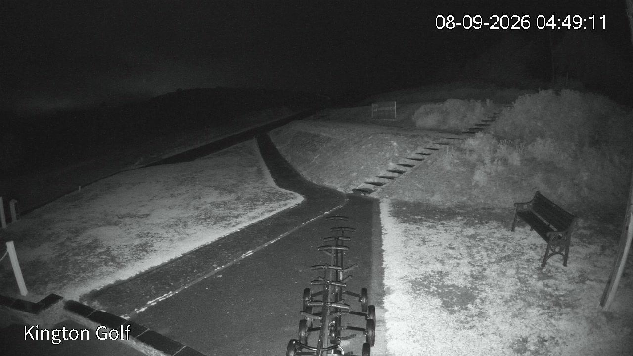
Kington Webcams Online — Watch in Real Time
Kington in Herefordshire, United Kingdom, reveals its streets to observers through a network of webcams. This market town with a rich history and vibrant atmosphere becomes accessible to those who want to appreciate its landscapes, architecture, and rhythm of life without physical presence. Viewing Kington's webcams provides an opportunity to monitor weather conditions, traffic movement, and notice changes in the urban environment depending on the season. The town is situated in the west of the county, bordering Wales, and occupies a unique position at the intersection of walking routes, making it an interesting destination for a virtual stroll.
Kington in Herefordshire — A Market Town with a Rich History
Kington retains its market town name and status as a civil parish in Herefordshire. The town occupies a position in the west of the region, close to the border with Wales. The historic core preserves narrow streets and traditional buildings, creating an atmosphere characteristic of many English medieval market towns. Walking through the centre of Kington reveals a blend of ancient architecture and modern elements. The town is known as a "centre for walking tourism," attracting outdoor enthusiasts from across the United Kingdom.
Kington — a market town in Herefordshire. The parish population is 3,240 people. This size preserves the atmosphere of a small town where you can get to know every resident. The urban space is composed of the historic centre, parks, and gardens along streams and rivers. Walking routes connect Kington with the surrounding area, creating a network of trails for explorers of the region.
Historical Roots and Ancient Evidence
Kington's roots go deep into the medieval period. The town is mentioned in the Domesday Book of 1086 under the name "Chingtune." The name has Old English origins and translates as "royal settlement," reflecting its status at the dawn of the region's history. This fact testifies to Kington's significance as early as the 11th century, when it belonged to territory controlled by the English crown. Historical records, geographical maps, and archaeological research help reconstruct the picture of the town's early development and its role in the administrative structure of Herefordshire.
Kington lies to the west of Offa's Dyke but has remained an English town for thousands of years despite its geographical proximity to Wales. Mention in the Domesday Book confirms the town's status as an important point in the regional network of settlements. The town's architecture, preserved on streets and in the perimeter, reflects stages of its development from the Norman period to the present day.
Architectural Landmarks: St Mary's Church
In the centre of Kington stands St Mary's Church, built in the late Norman style around 1200. St Mary's Church in Kington holds a Grade I listing for architectural significance. This is one of nine churches in Herefordshire with a freestanding bell tower, despite the fact that in subsequent centuries the space between the tower and the nave was partially built over. The building is of interest to architecture researchers, as well as to those who prefer to observe it through webcams to appreciate the proportions and details of the facade and interior.
The tall spire of St Mary's Church, constructed in the 18th century and partially rebuilt in 2005, serves as an important landmark for travellers. The view of the spire and bell tower from the urban environment provides an idea of the visual appearance of the centre. Virtual observation of the church through a camera allows one to notice changes in light and shadow depending on the time of day, as well as to assess the scale of the building among the surrounding houses and streets.
Hergest Ridge: Nature on the Border of Two Countries
To the north of Kington stretches Hergest Ridge — an elongated hill crossing the border between England and Wales between Kington and the village of Hergest in the parish. The highest point of the ridge is located in the English part and stands at 426 metres above sea level. The ridge is popular among walkers and cyclists, offering routes of varying difficulty with panoramic views of both kingdoms and the surrounding meadows, forests, and river valleys.
Hergest Ridge represents a natural feature that can be appreciated from different perspectives. From the summit, views open up over forests, fields, and nearby villages. Webcams oriented towards this area allow one to notice changes in the landscape depending on the season — from the green shades of spring to the golden tones of autumn and snow cover in winter. The horizon stretching from the hill to the rivers creates a picturesque backdrop for the urban landscapes of Kington, located at the foot of Hergest.
Offa's Dyke Path and Regional Walking Routes
The national trail Offa's Dyke Path, 177 miles (285 km) long, passes through Kington along the ancient earthwork. Offa's Dyke Path follows along the earthwork constructed by order of King Offa of Mercia in the 8th century to separate Mercia and the Welsh kingdoms. This route reflects the historical and geographical division between regions, superimposed on the natural landscapes.
Kington is located to the west of Offa's Dyke but has remained part of English territory for millennia. Four major walking trails pass through the town: Mortimer Trail, Herefordshire Trail, Offa's Dyke Path, and Black and White Village Trail. The combination of these routes makes Kington a hub for active tourism enthusiasts in Herefordshire. Walkers following the trails cross fields, forests, rivers, and picturesque villages, observing the shift in cultural and landscape zones symbolised by the earth dug for Offa's Dyke.
Traditions and Cultural Life: Festivals and Events
Kington is known as a centre for walking tourism and hosts an annual walking festival. The town is renowned for its agricultural and cultural events, among which Kington Show is one of the region's largest one-day agricultural shows, held in September. Kington's festivals reflect the traditional way of life of the region, bringing together the local community and visitors to the town.
Kington is the smallest of the five market towns in Herefordshire. The town's size allows for a more intimate scale of events and gatherings while maintaining the vibrancy of urban life. The town museum, located next to the clock tower built to commemorate the Golden Jubilee of Queen Victoria in 1887, adds cultural context to walks through the streets. The clock tower serves as another landmark, marking historical milestones of the town and the time of its development from the 19th century to the present day.
Landmarks and Attractions for Travellers
In the centre of Kington are located the clock and museum, creating a historical and cultural context for walks around the town. The clock tower, erected in 1887, commemorates the Golden Jubilee of Queen Victoria and continues to be a visible element of the town's architecture. The museum, concentrated near the tower, collects materials related to the history of the town, its nature, and cultural traditions. The objects available for viewing in the town complement the experience of observing it through webcams.
The river and streams form natural landscape frames for the streets of Kington. Walking trails lead out of the town into the surrounding area, opening up views of Hergest and nearby villages. St Mary's Church with its spire and bell tower, the town museum, and historic buildings along the streets create a visual landscape that can be appreciated remotely. Webcams allow observation of the dynamics of the urban environment — from the movement of vehicles and pedestrians to changes in lighting and the sky. The town is crisscrossed by a network of trails, which is reflected in picturesque panoramas from the hills and provides an understanding of Kington's relationship with the surrounding landscape of Herefordshire and Wales.