

🏙️ Bembridge Webcams Online — Watch Live in Real Time
1 cameras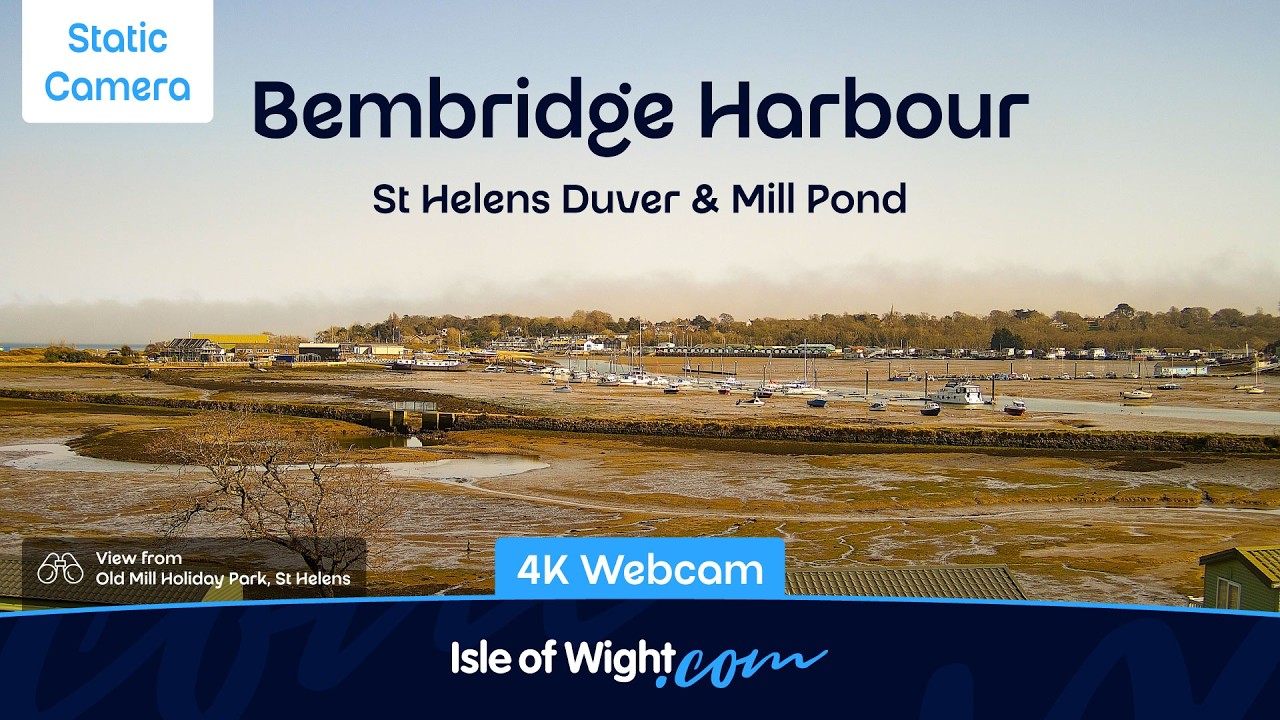
Bembridge on the eastern tip of the Isle of Wight
Located at the easternmost point of the Isle of Wight, Bembridge stands out on the British coastline for its unique geographical position. It is a village within a civil parish that was once virtually an island, cut off from the mainland by the tides. Situated on a peninsula, Bembridge lies on the far side of the bridge from its eastern shore, which is reflected in the origin of the name itself — the Old English words binnan and brycg, meaning '(a place) inside the bridge' or 'on this side of the bridge'. In the past, this area was indeed an island, formed by being cut off from the Brading Haven waterway, hence the alternative name — Bembridge Isle. A popular local joke claims that Bembridge has the largest population of any village in England, a claim supported by the 2001 census, which recorded a population of 3,848.
Maritime atmosphere and history
Bembridge has long developed as a maritime settlement, distinguished by an atmosphere that sets it apart from other parts of the United Kingdom. Residents maintain a strong maritime spirit that is reflected in their traditions and way of life. Water plays a key role in the life of the area — the harbour, formed from the former Brading Haven, stretching for several kilometres, has changed over time but retained its functionality and appeal. Waterways connect the settlement to the sea, and tidal processes create a unique landscape that appeals to observers and nature lovers. Even walks along the coastline can be interesting not just as a stroll, but as an opportunity to observe the changing natural conditions characteristic of tidal zones. For those interested in the history of the region, a webcam can serve as a tool for observing how natural processes unfold in such unique conditions.
Bembridge Windmill
One of the dominant features of the local landscape is Bembridge Windmill, also known as Knowle Mill. It is the only surviving windmill on the Isle of Wight, built around 1700. The mill holds Grade I listed status and has retained all its original mechanisms, making it a unique monument to past engineering. The windmill operated by wind power until 1913, and after 1897 was used exclusively for grinding animal feed. Following restoration in 1935 and subsequent major renovation in 1959 funded by public donations, the mill was transferred to National Trust and continues to attract the attention of travellers. The famous artist JMW Turner depicted the mill in his painting, and modern visitors can appreciate this historical view via the camera.
RNLI Lifeboat Station
Maritime safety in Bembridge has been maintained since 1867, when the first lifeboat arrived in the village. The lifeboat house at Lane End, built for £165, became an important element of the region's infrastructure. The lifeboat station pier is approximately 280 metres long and is considered one of the longest structures of its kind serving a lifeboat station. The RNLI station is classified as key and is strategically located in the Solent — one of the busiest maritime routes, used by more than 100,000 commercial vessels per year. In 2017, the station celebrated 150 years of lifesaving service. The tidal harbour around which the life of the area has formed becomes a gathering place for birds in the winter months, and walks along it can be educational. The Eastern Yar River flows northeast towards Bembridge Harbour, forming an additional scenic route for walks and observations.
Bembridge Harbour and nature reserves
Bembridge Harbour is a picturesque corner on the eastern side of the Isle of Wight that attracts nature lovers and tourists. As a magnet for birds in the winter months, the harbour provides an excellent opportunity to observe the wading and shore birds that inhabit the area. Near the harbour, between Brading and Bembridge Harbour, lies the Brading Marshes RSPB Reserve. It is the only reserve of the Royal Society for the Protection of Birds (RSPB) on the Isle of Wight and one of the most important wetlands in the region. The wetlands, the Yar River and the harbour create a unique ecosystem that cannot be observed other than in person or via a webcam. The popular walking area of St Helens Duver, a former golf course managed by National Trust, is located near the shore, making it easily accessible for a visit.
Historical events
Bembridge also boasts historical landmarks that tell of its maritime past. In 1805, Lord Nelson boarded HMS Trafalgar off the coast of St Helens, commemorated by a plaque on the tower of the old St Helens Church. These events left a notable mark on local history that attracts historians and tourists alike. A visit to the church and the commemorative plaque allows one to connect with the era of great naval battles and the association with Nelson, an important figure in British naval history. The landscape and nature of Bembridge created conditions for important maritime events and historical encounters that left their mark on the development of the settlement. These places combine natural beauty and historical significance.
What the cameras show
This page features Bembridge webcams that allow you to observe the life of this coastal village in real time. You can assess conditions at sea, vessel movement at the docks, tidal processes in the harbour, or the atmosphere around historical landmarks. The webcam provides the opportunity for remote observation of how life unfolds in Bembridge, at any time convenient for you. Even if you are far from the Isle of Wight, the webcam will help you experience the maritime atmosphere of the region and view its attractions, including the harbour, lifeboat station, windmill and other key landmarks. For those interested in weather conditions, tides or maritime activity, the webcam becomes a convenient observation tool, allowing you to assess temperature, wind direction and the state of the water surface.