

🏙️ Webcams San Bernardino online — watch in real time
1 cameras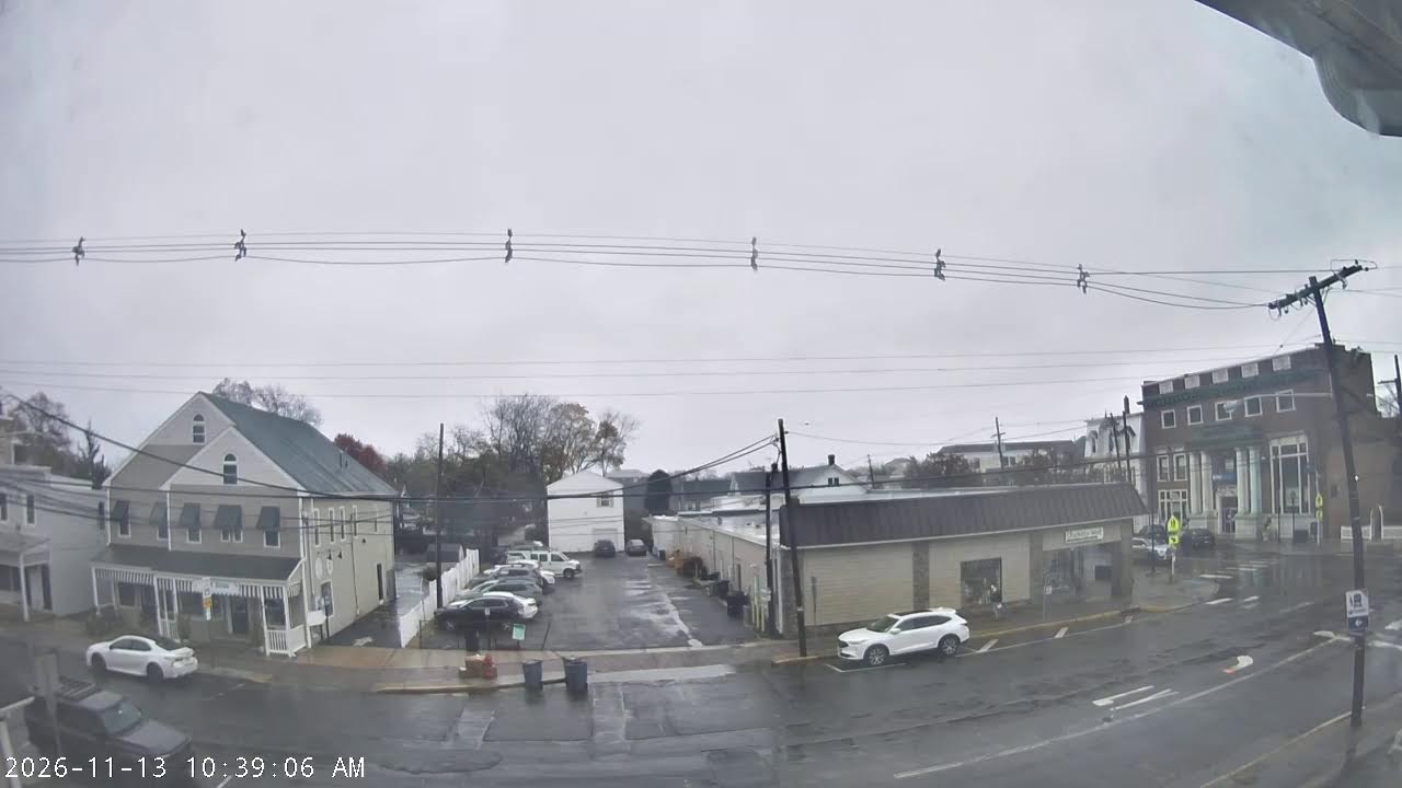
San Bernardino: Gateway to the Inland Empire
San Bernardino is a city that often remains in the shadow of its mighty neighbor Los Angeles, yet lives its own vibrant life. Located approximately 60 miles east of the metropolis, this city is the county seat of the largest county in the continental United States. San Bernardino County exceeds 20,000 square miles — a territory comparable to entire states. The city itself, with a population of about 222,000 people, represents a quintessential California rhythm: blazing sun, endless freeways, palm trees along the highways, and mountain ridges on the horizon.
For those who want to feel the atmosphere of this place, San Bernardino webcams online open a window into the daily life of the city. Highway traffic, real-time weather, mountain landscapes — all available through live streams without needing to go anywhere.
Historical Heritage: From Spanish Mission to Route 66
The history of San Bernardino dates back to the era of Spanish colonization of California. In 1810, a Spanish mission was founded here, and in 1854 the settlement received official city status. Since then, San Bernardino has experienced a railroad construction boom, agricultural prosperity, and industrialization.
A special place in the city's history is occupied by the legendary Route 66. The historic road passes through San Bernardino along E Street, leaving behind mid-century motels, neon signs, and that nostalgic atmosphere of 1950s America. Today, this stretch is a pilgrimage for tourists seeking an authentic Mother Road experience.
Another historical milestone is connected to gastronomy: it was in San Bernardino in 1940 that the McDonald brothers opened their first restaurant. On this site now stands a museum dedicated to the history of fast food — an unexpected but genuine monument to pop culture.
Geographic Location and Climate
San Bernardino is located in the San Bernardino Valley, surrounded by mountains on three sides. The city sits at an elevation of about 1,000 feet above sea level, creating a unique microclimate. Summers here are hot and dry — temperatures regularly exceed 100°F, while winters are mild, although snow falls in the mountainous areas of the county.
The climate conditions make San Bernardino interesting for observation via webcams at any time of year. Summer heat, visible through traffic cameras, creates characteristic mirages on the asphalt, while in winter you can watch snow settle on mountain peaks while the valley remains warm. San Bernardino online streaming allows you to see these contrasts in real time.
Neighborhoods and City Atmosphere
The urban structure of San Bernardino reflects a typically California approach to urbanization: sprawling residential neighborhoods, shopping centers along highways, and a compact downtown. The central part of the city is undergoing a period of revitalization — old buildings are being restored, new restaurants and cultural spaces are appearing.
The northern neighborhoods of the city adjoin the foothills and are considered more prestigious. Here are located campuses of educational institutions, including California State University, San Bernardino, where more than 19,000 students study. The university district lives its own dynamic life — youth, events, sports competitions.
The southern and western neighborhoods are industrial zones and working-class residential quarters. This is where you can see the real, unvarnished California: small houses with yards, auto repair shops, family taquerias. San Bernardino webcams in these neighborhoods show everyday life without tourist glamorization.
Attractions and Places of Interest
Despite its reputation as a transit city, San Bernardino has several notable attractions. San Manuel Stadium — a baseball arena hosting minor league games — is the center of sports life in the region. The Norris Performing Arts Center delights theater and music lovers.
For family recreation, Seccombe Lake Park offers exhibits of California wildlife. The San Bernardino County Museum preserves artifacts from Serrano Indian settlements to the railroad era. And the aforementioned first McDonald's museum attracts both tourists and pop culture enthusiasts.
Third Street in the historic center is a pedestrian zone with restaurants and shops, where farmers' markets and city festivals take place on weekends. Live streaming from webcams in the city center allows you to assess how lively this part of San Bernardino can be on different days of the week.
Transportation Infrastructure and Roads
San Bernardino is a major transportation hub of Southern California. Interstate highways I-10, I-215, and I-210 pass through the city, connecting Los Angeles with the desert resort of Palm Springs and beyond — with Arizona. The traffic intensity here is colossal: trucks, cars, buses — the flow never stops day or night.
Highway 10 is the main artery crossing the city from west to east. During rush hour, traffic here slows to a crawl, and San Bernardino traffic cameras help drivers plan their routes. Highway 215 runs north to south, connecting the city with Highland and Riverside.
San Bernardino International Airport (SBD) serves commercial flights and cargo operations. Airport webcams show runways and terminals, allowing you to observe the region's aviation activity.
Surroundings: Mountains and Natural Attractions
The San Bernardino Mountains are not just a picturesque backdrop for cityscapes. They are a full-fledged ecosystem with forests, lakes, and ski resorts. Arrowhead Mountain, visible from many points in the city, is a symbol of the region and a popular hiking destination. Webcams in the Lake Arrowhead area broadcast mountain landscapes, conditions on Highway 18, and weather in the highlands.
Cajon Pass is another iconic point where Highway 138 cuts through the mountain range. Cameras at the pass show conditions for travelers heading to the Mojave Desert or the mountains. In winter, chains are often required here, and online monitoring helps assess road conditions.
The San Bernardino National Forest surrounds the city with a green belt. It's a territory for camping, fishing, and wildlife observation. In spring, the slopes are covered with wildflowers, and in fall, the mountains turn golden. San Bernardino County webcams allow you to see these seasonal changes without leaving home.
What the Cameras Show
San Bernardino webcams cover key points of the city and county. Traffic cameras are installed on highways I-210, I-215, and I-10, showing road conditions in real time. Weather cameras broadcast weather, cloud cover, and visibility on city streets.
San Bernardino Airport provides webcams with views of terminals and runways. Mountain cameras in the Lake Arrowhead area and at Cajon Pass show conditions in the highland areas of the county. California State University cameras offer views of the campus and surrounding areas.
For observing city life, overview cameras are available, showing traffic on main streets and weather conditions. Downtown San Bernardino does not have direct publicly accessible webcams, however traffic and weather cameras throughout the city provide a complete picture of its current state. San Bernardino online streaming is an opportunity to see California's Inland Empire as it is: sunny, dynamic, surrounded by mountains, and crisscrossed by endless roads.